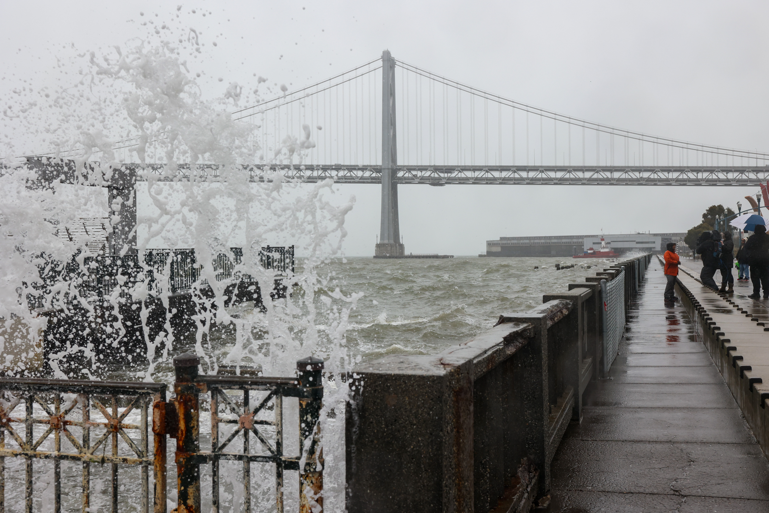
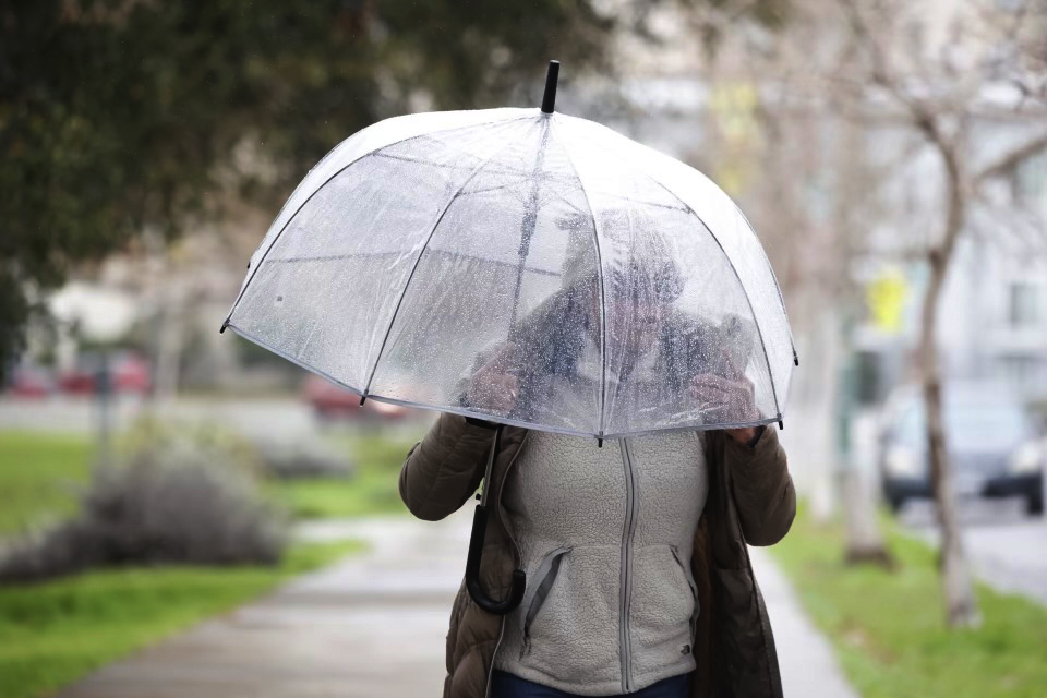
Even as heavy rain slams the Bay Area this week, millions of residents are still being asked to cut their water use for the fourth consecutive year of drought in the region.
With rain expected to continue, will the wet weather mean an end to Northern California’s drought? Not so fast, experts say.
The San Francisco Public Utilities Commission, which provides water to 2.7 million people across San Francisco and the greater Bay Area, said it’s too soon to know the full effect the storm will have on its storage. But heavy early-season rain and snow—and a storm system that could drag on for the next 10 days—could be a boon to the region’s water supply.
Sean de Guzman, snow survey and water supply forecast section manager for the California Department of Water Resources, said that while he is cautiously optimistic about the drought, California still has a long way to go.
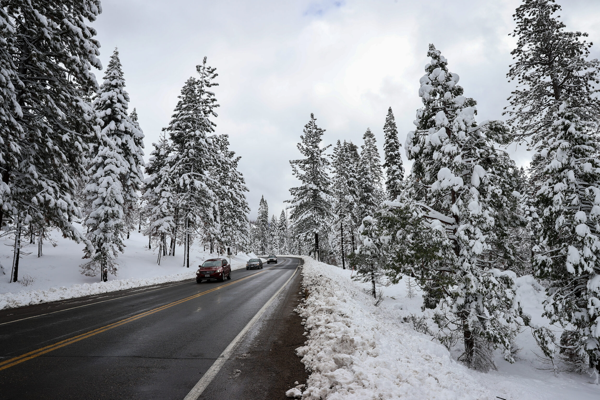
“No single storm event will end the drought,” de Guzman said at the first snow survey of the year at Phillips Station in South Lake Tahoe on Tuesday. “We’ll need consecutive storms—month after month after month of above-average rain, snow and runoff to help really refill our reservoirs so that we can really start digging ourselves out of extreme drought.”
The snow depth on Tuesday at the Tahoe location was recorded at 55.5 inches with 17.5 inches of snow water content, which is the amount of water contained in the snow. That puts the statewide snowpack levels this week at 177% of the yearly average and 72% of the April 1 average, the normal season’s peak. While rain can fill up reservoirs fast, snowpack is important to the area’s long-range water supply as the Sierras melt and slowly feed into the Bay Area’s storage after winter is over.
De Guzman said the New Year’s storm, which pounded 5.5 inches of rain in a 24-hour period on San Francisco, was too warm to contribute much snowpack to the area, especially up near Lake Shasta.
“This January snow survey is really our first big reveal of snow conditions for the year,” de Guzman said. “Our snowpack is actually off to one of its best starts in the last 40 years.”
While today’s numbers look optimistic, Andrew Schwartz of UC Berkeley’s Central Sierra Snow Laboratory said the next few months will be important for the region’s drought prospects. He said the spring could still bring bone-dry conditions like last year, when California recorded its driest January through March on record.
“There’s still time for things to change,” Schwartz said. “It’s kind of anyone’s guess as to what will happen beyond late January, but we’re just kind of hoping and crossing our fingers that it stays an active storm pattern.”
And the state’s reservoirs are far from full: Lake Oroville sits at 35% of capacity while Lake Shasta is only at 34%. The SFPUC’s main reservoir, Hetch Hetchy, is around 75% full as of Tuesday.
Schwartz said that right now, he doesn’t expect reservoirs to overflow or have to release excess water since their levels are still fairly low. But he and his colleagues are keeping their eye on the result of a rain-on-snow event, which can either densify snowpack or wash it away.
“The bulk of the rain that does go into the reservoirs is going to be beneficial,” Schwartz said.