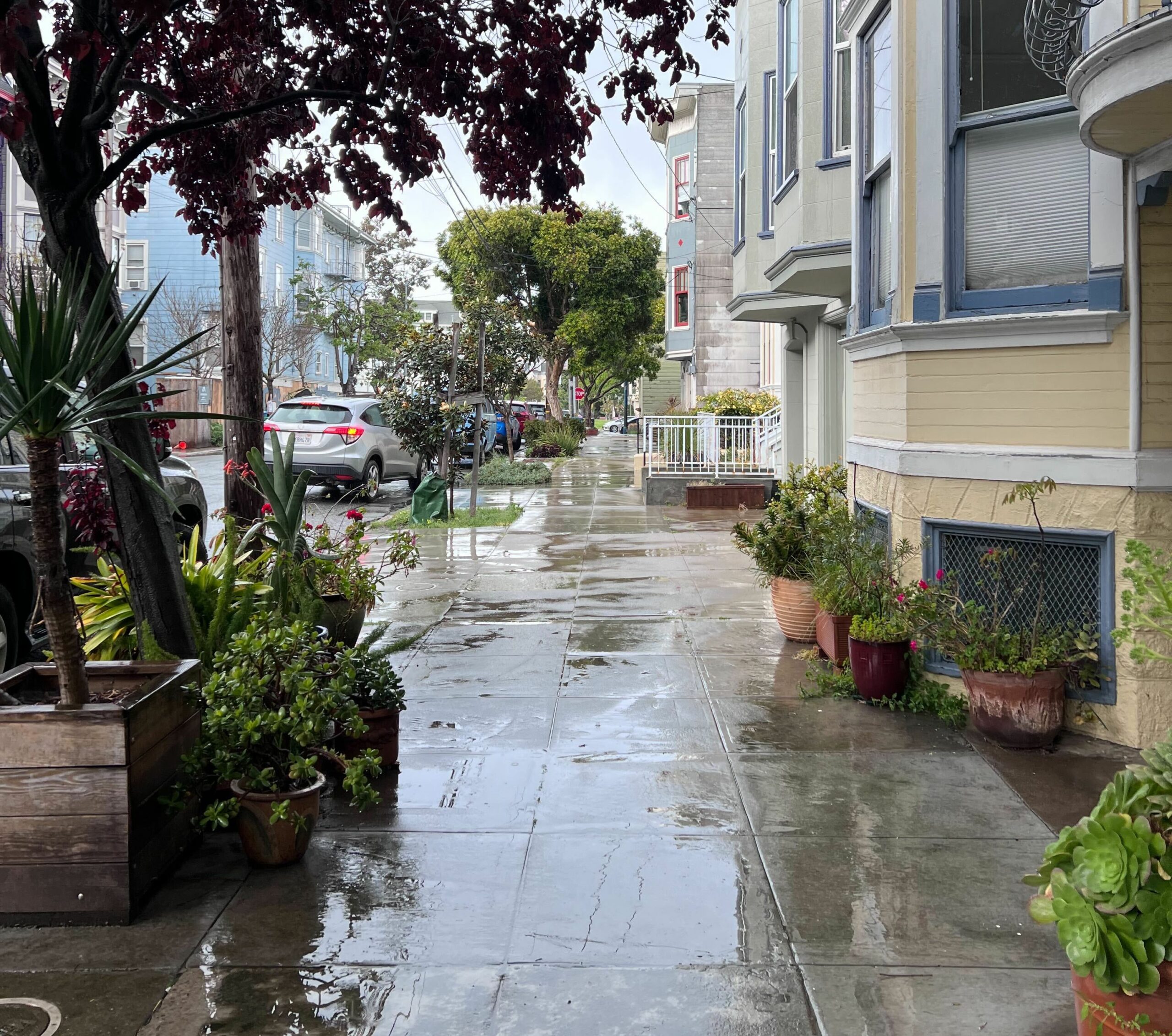
Hate to burst your bubble SF, but the winter weather might be here to stay.
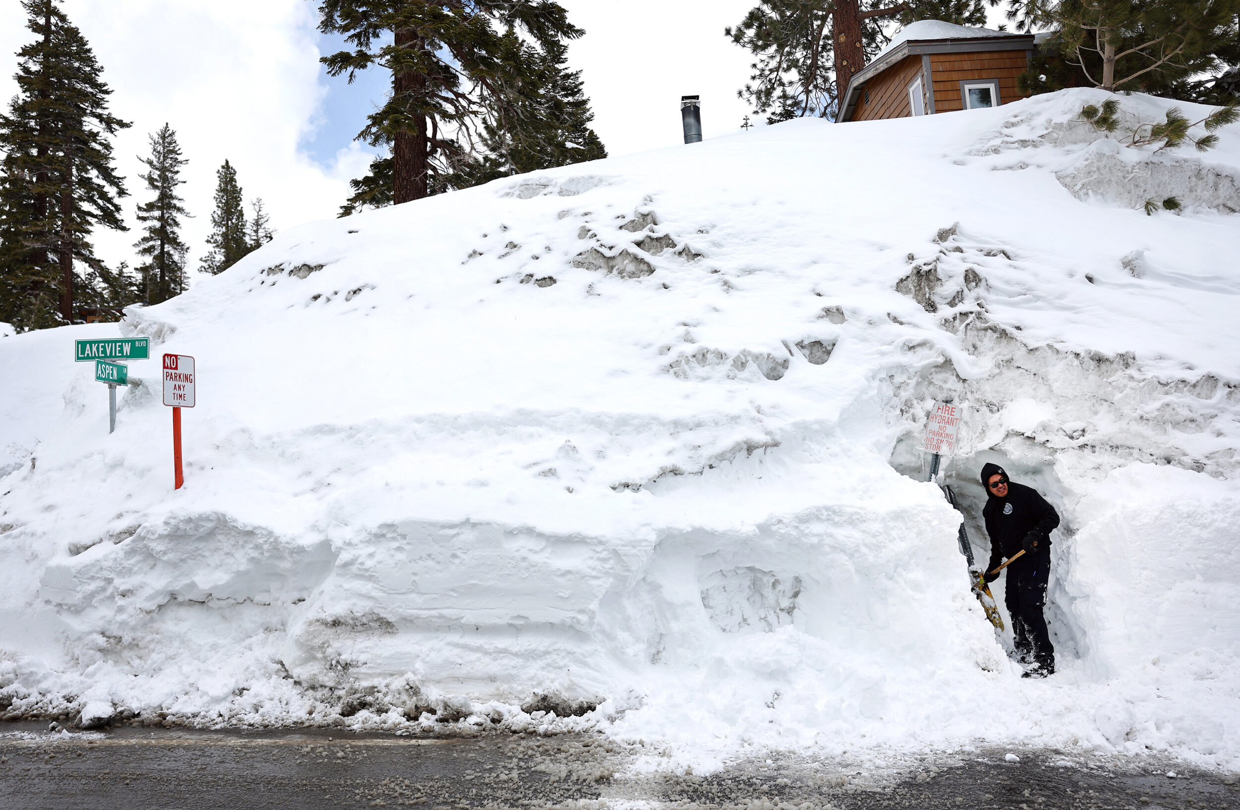
After two weeks of glorious sunshine and balmy temperatures, the city recorded 0.91 inches of rain over a 24-hour period, Monday into Tuesday. And our neighbors up in Tahoe saw spring snow Tuesday afternoon, heavy enough that the National Weather Service issued a winter weather advisory.
Spring has sprung, no?
To put these figures in perspective, the average rainfall for the entire month of May is only 0.54 inches. Parts of the North Bay, such as Mill Valley, also clocked higher-than-usual rainfall levels, marking the continuation of what has been a very wet, very windy Bay Area winter.
The city has come within inches (literally) of numerous precipitation records this year. San Francisco was doused with 5.46 inches of rain during a New Year’s Eve storm, delivering the second-highest level of single-day precipitation in city history.
And after winter atmospheric rivers battered the West Coast, massive snowpacks formed on the Sierras and other mountain ranges. As of May 1, California’s snowpack sat at a whopping 254% of its typical peak, coasting well past records set in previous seasons.
So What’s Next?
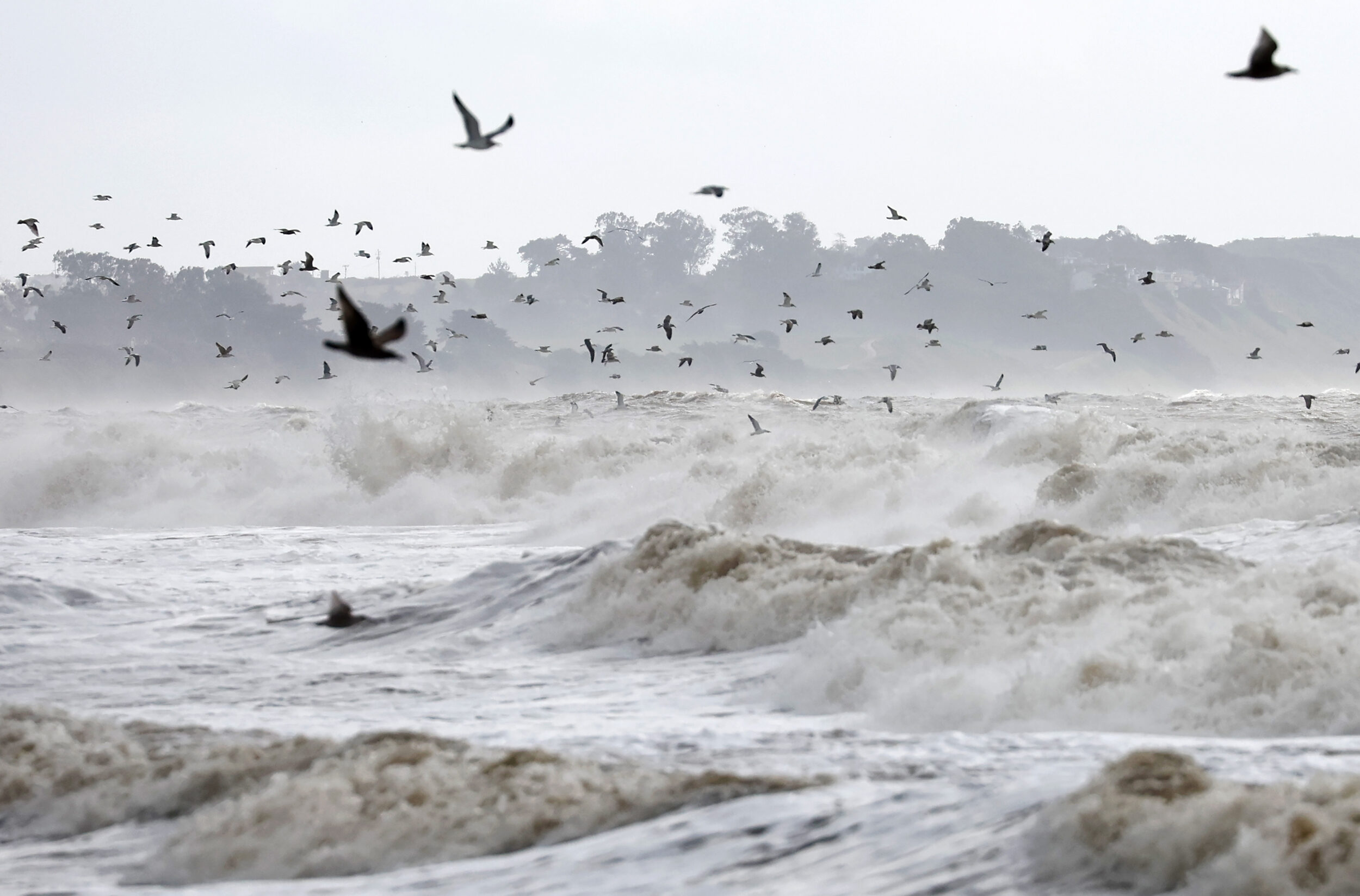
There’s a chance of even more rain later this week with scattered showers across the Central Coast, according to the National Weather Service. As for any more surprise spring storms, weather experts say they’re difficult to predict.
Climate scientist Daniel Swain tweeted that Tuesday’s storm was “unusually cold and fairly electric,” and that the broader conditions set up by winter storms put California on track for a particularly powerful El Niño event. Warmer-than-average surface temperatures in the eastern Pacific Ocean tend to generate higher-than-average seasonal rainfall across western North America—including California.
“It’s not just that there’s a high likelihood of El Niño conditions of some magnitude this year (which there is), but there’s also a moderate but growing likelihood of a remarkably strong event later in 2023,” Swain said in a blog post, adding that it’s likely that a greater frequency of storms will arrive in late autumn.
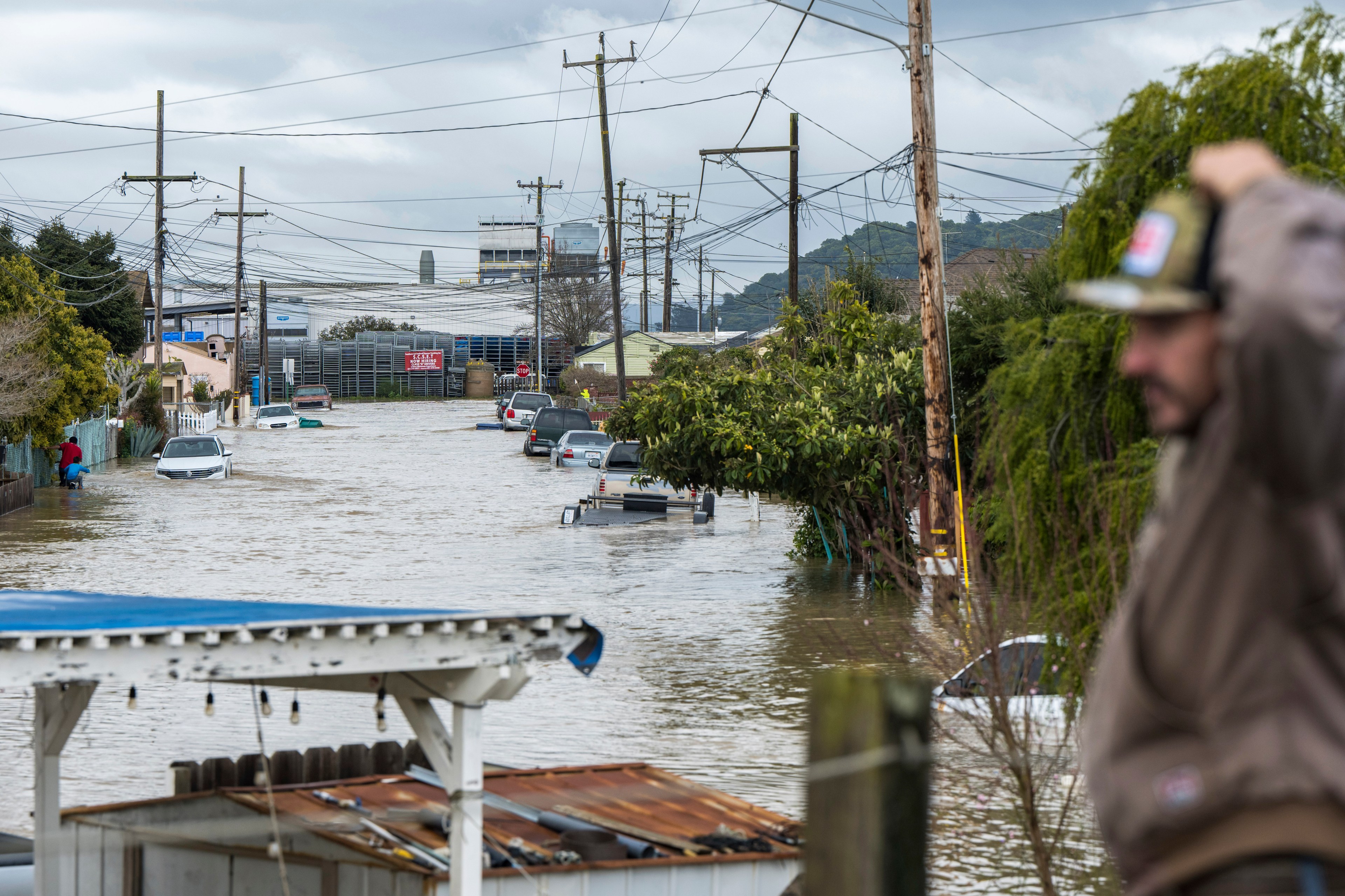
More snow in Tahoe and on the state’s massive snowpack might also spell bad news for low-lying regions of the Central Valley.
Though state officials say the snowpack has melted at a slower rate than expected—even with the spell of balmy spring temperatures last week—folks in Tulare County and other agriculture-heavy regions are scrambling to protect flooded crops and homes.