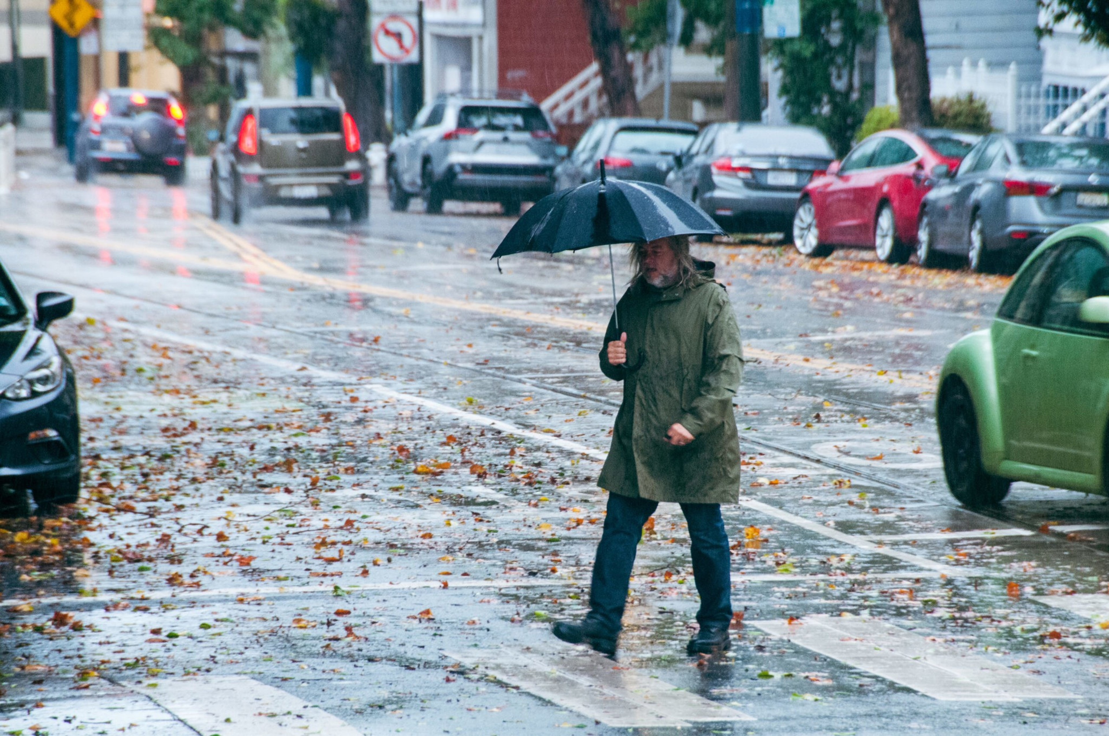
Tuesday was full of storm-created surprises as the atmospheric river starts its run.
A San Ramon sporting goods store’s roof collapsed (opens in new tab). Monstrous waves (opens in new tab) with 20-foot crests are crashing against the coast in Marin County. Flooding slowed morning commutes creating a 3-mile backup (opens in new tab) on the Highway 101 in Monterey County.
“It’s very likely to be [the] wettest end of year in the Bay Area and north Central Coast since 2005,” the National Weather Service (NWS) (opens in new tab) said Monday on social media.
Air travelers are stranded at Bay Area airports as the bomb cyclone (opens in new tab) deals havoc across the nation.
“It’s just been a disaster,” Oakland resident Amanda Glazer told The Standard. Canceled flights ruined her travel plans.

Subscribe to The Daily
Because “I saw a TikTok” doesn’t always cut it. Dozens of stories, daily.
Other travelers were delayed by six days.
Meanwhile, Lake Tahoe is bracing for 8 feet of snow (opens in new tab) during its peak skiing and snowboarding season. Resorts are turning away visitors because of the weather.
San Francisco proper has avoided any weather-caused catastrophes (opens in new tab) so far. Department of Public Works crews cleared felled trees. The department is also offering free sandbags (opens in new tab) to the public for fortifying properties at risk of flooding.
“The main front is now down the Monterey Bay, but scatter showers extend all the way back to Marin County, with clearing behind that. The front will continue to move south through Tuesday,” NWS shared on social media (opens in new tab) Tuesday evening.
Forecasts show a break in the rain Wednesday morning, but showers are likely to return by night time (opens in new tab).