For a Californian, what better way is there to spend the day than to take a long walk on a sandy beach?
To help you on your quest for the best beach walk, The Standard tested out eight extra-long walks across extra-long strands of sand fringing the San Francisco Bay Area.
Given that tides are more extreme in winter, hikers will find great tide pooling along the water’s edge, plus more beach to traverse than usual—with or without shoes. But there’s a caution. Don’t get caught by sneaker waves or by an incoming high tide. Check the tide tables before you go, and keep a weather eye out to sea at all times.
San Francisco County
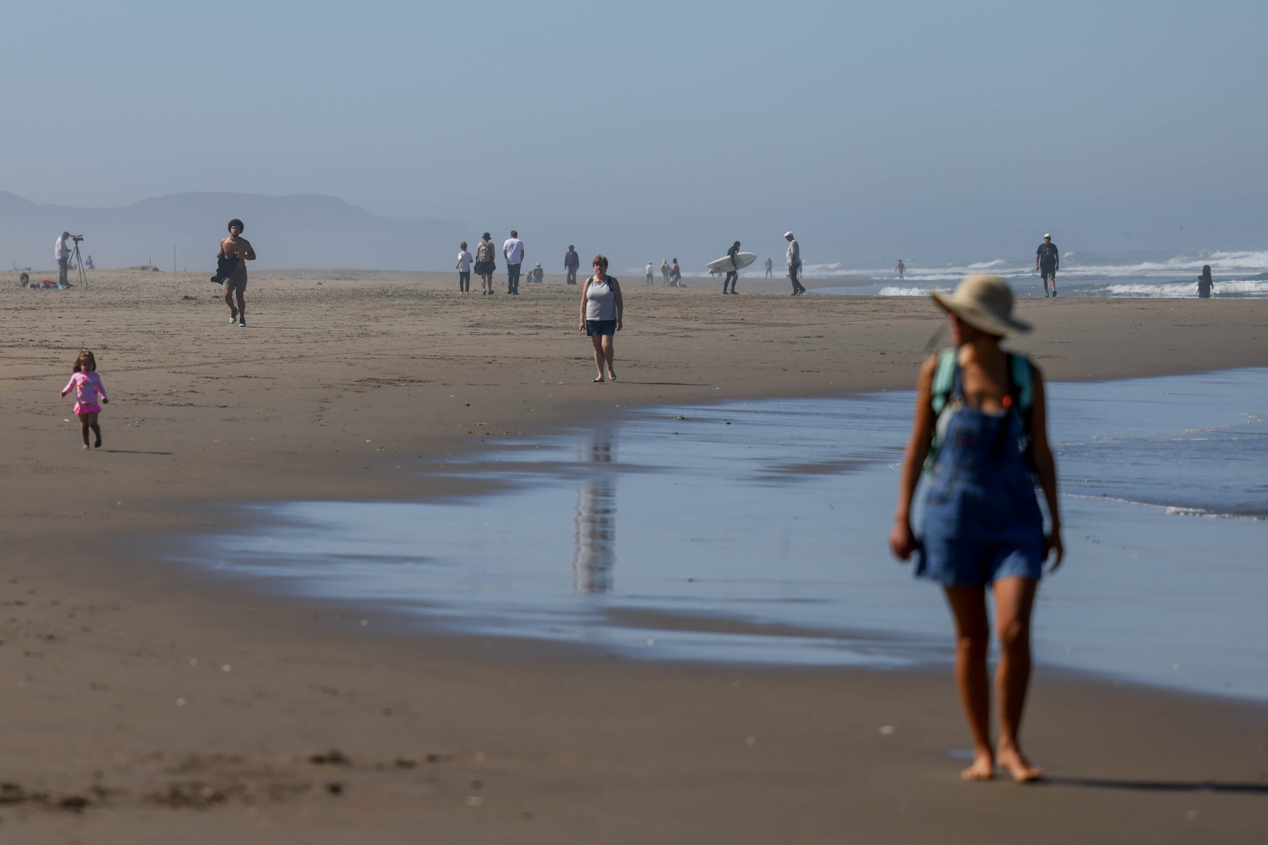
Ocean Beach
It’s no surprise that San Francisco’s west-side strand is our top pick for a convenient barefoot hike. Start at the Cliff House—or the zoo, your pick. It’s more than three miles between them. Consider putting shoes back on for the return trip, preferably taking the new Great Walkway section of the Great Highway, for even better people-watching.
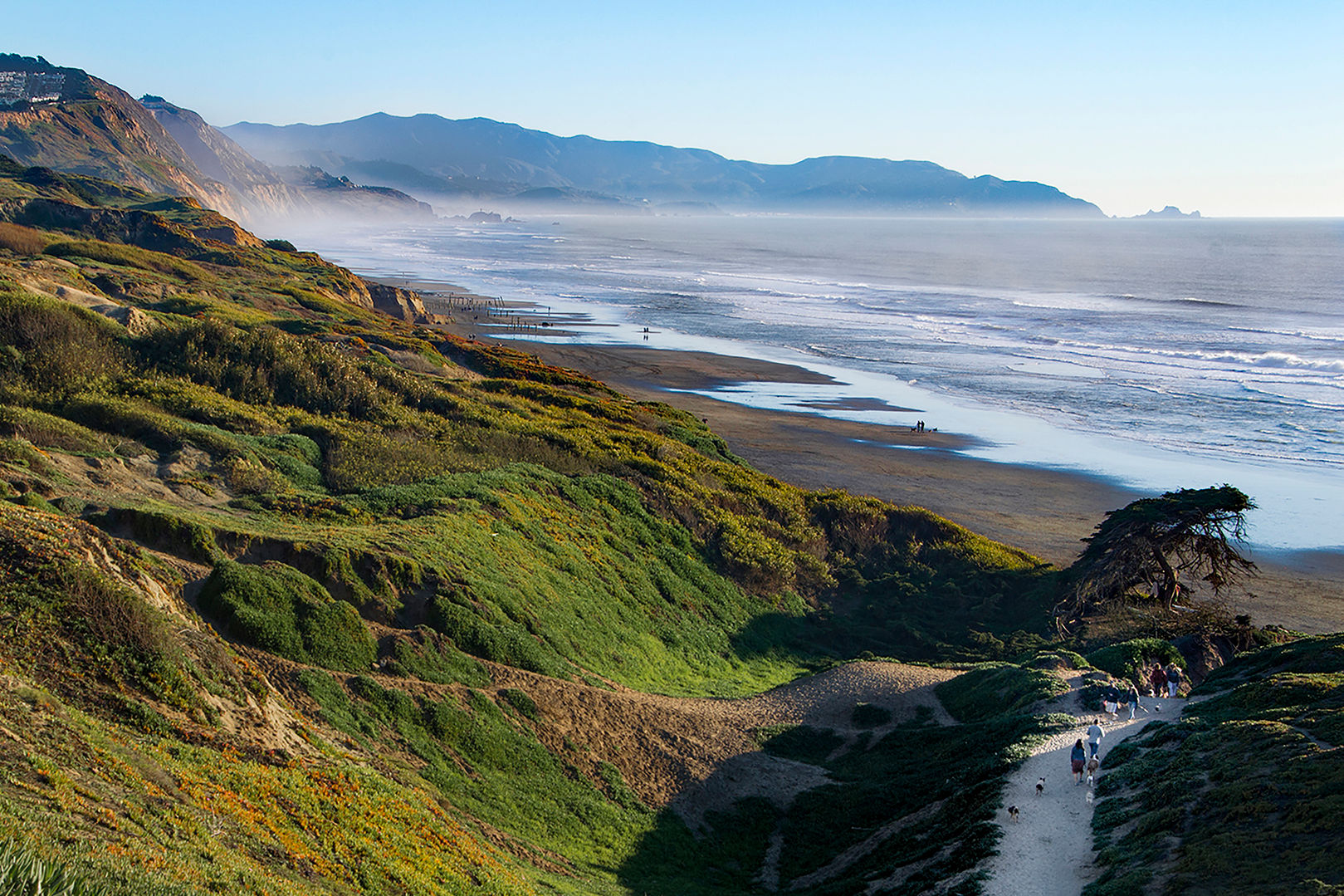
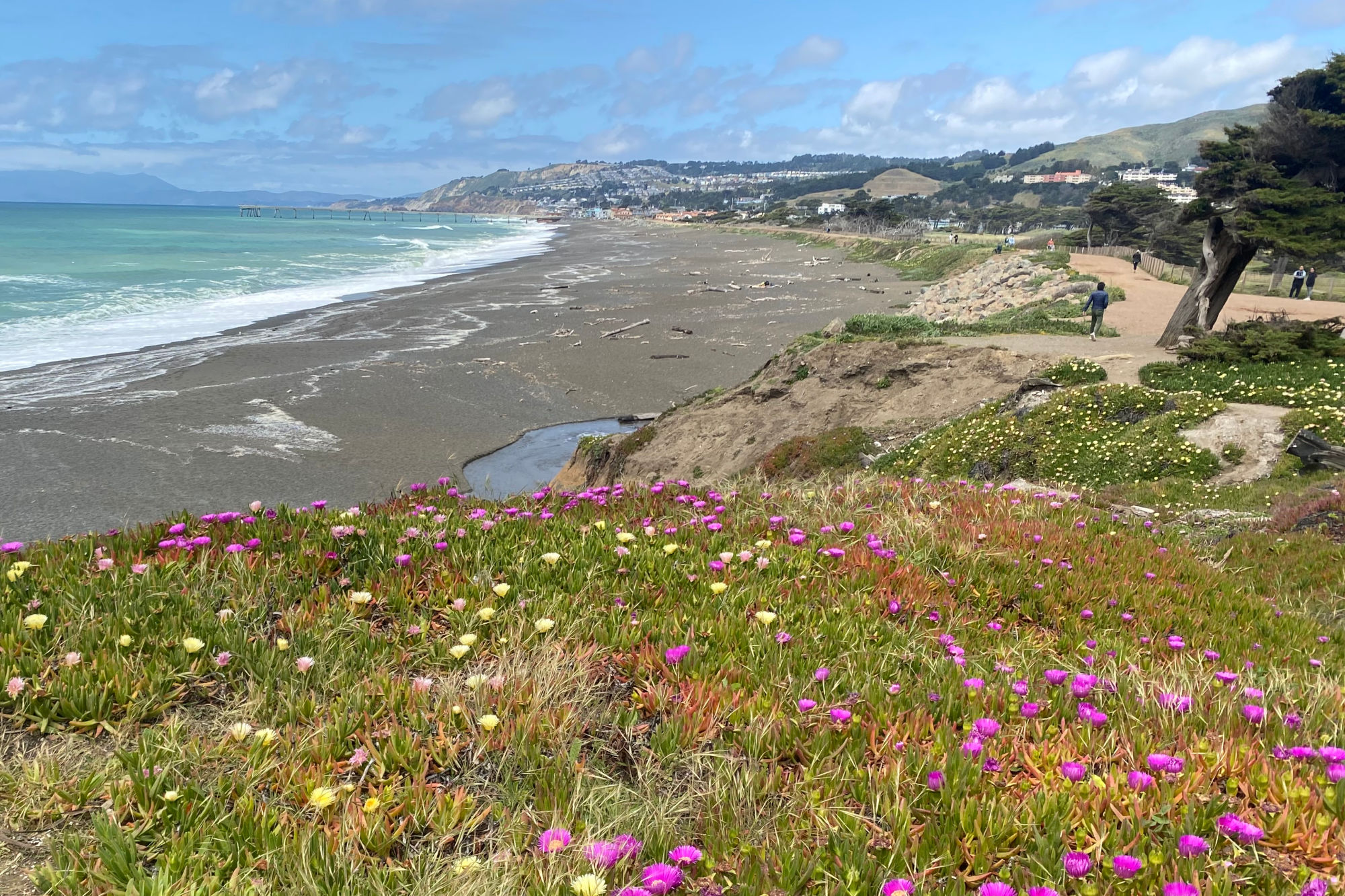
Fort Funston
On the border between San Francisco and Daly City, Fort Funston is a local favorite beach walk—albeit almost always a windy one. The upside is getting to see lots of hang gliders, frolicking pups—it’s a favorite for dogwalkers—and picturesque cliffs. It’s a bit of a steep trail down to Funston Beach from the parking lot on Skyline Boulevard, but then you can loop a mile or two on the tidal flats, or head up onto the bluffside trails.
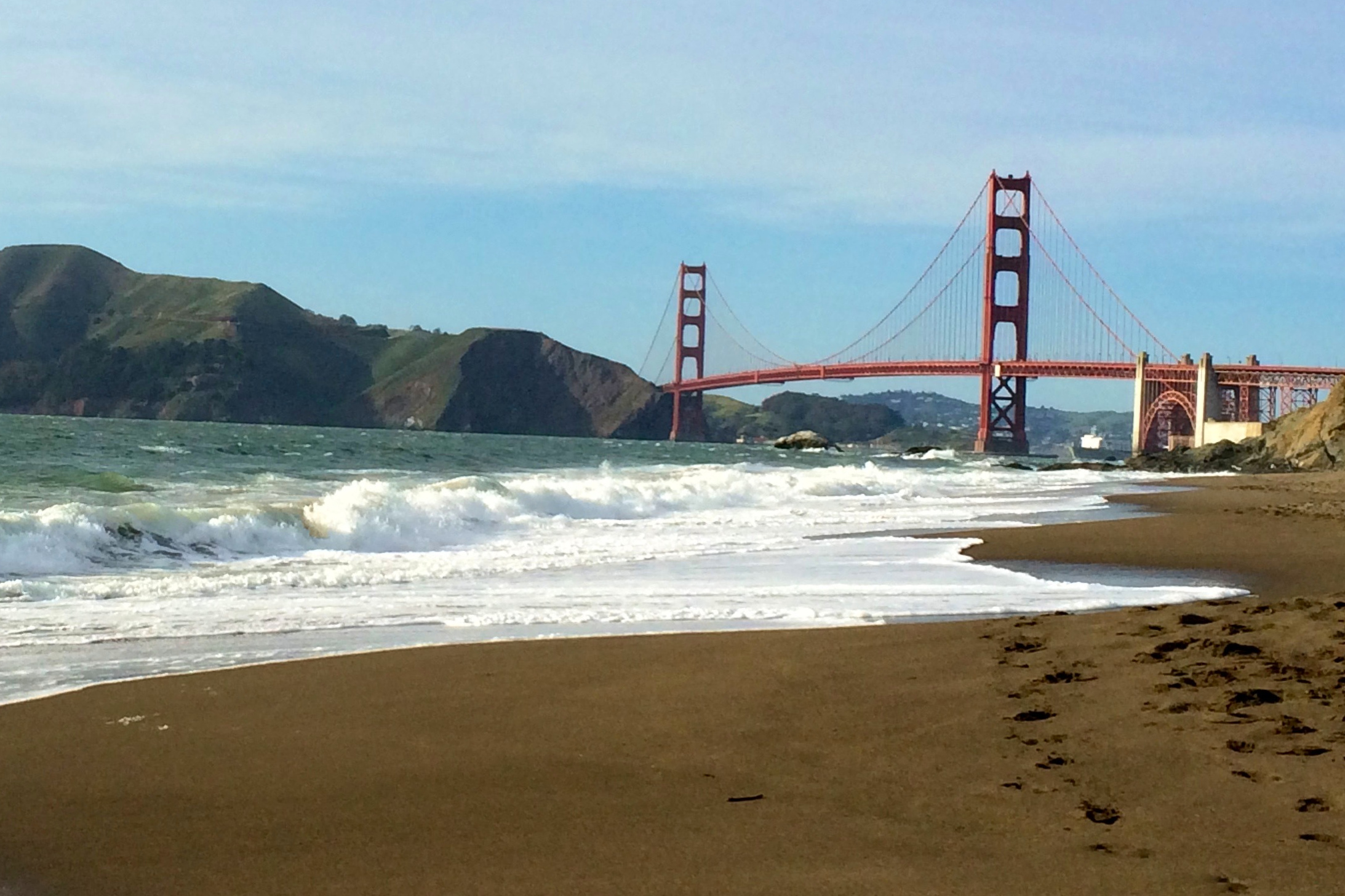
Baker Beach
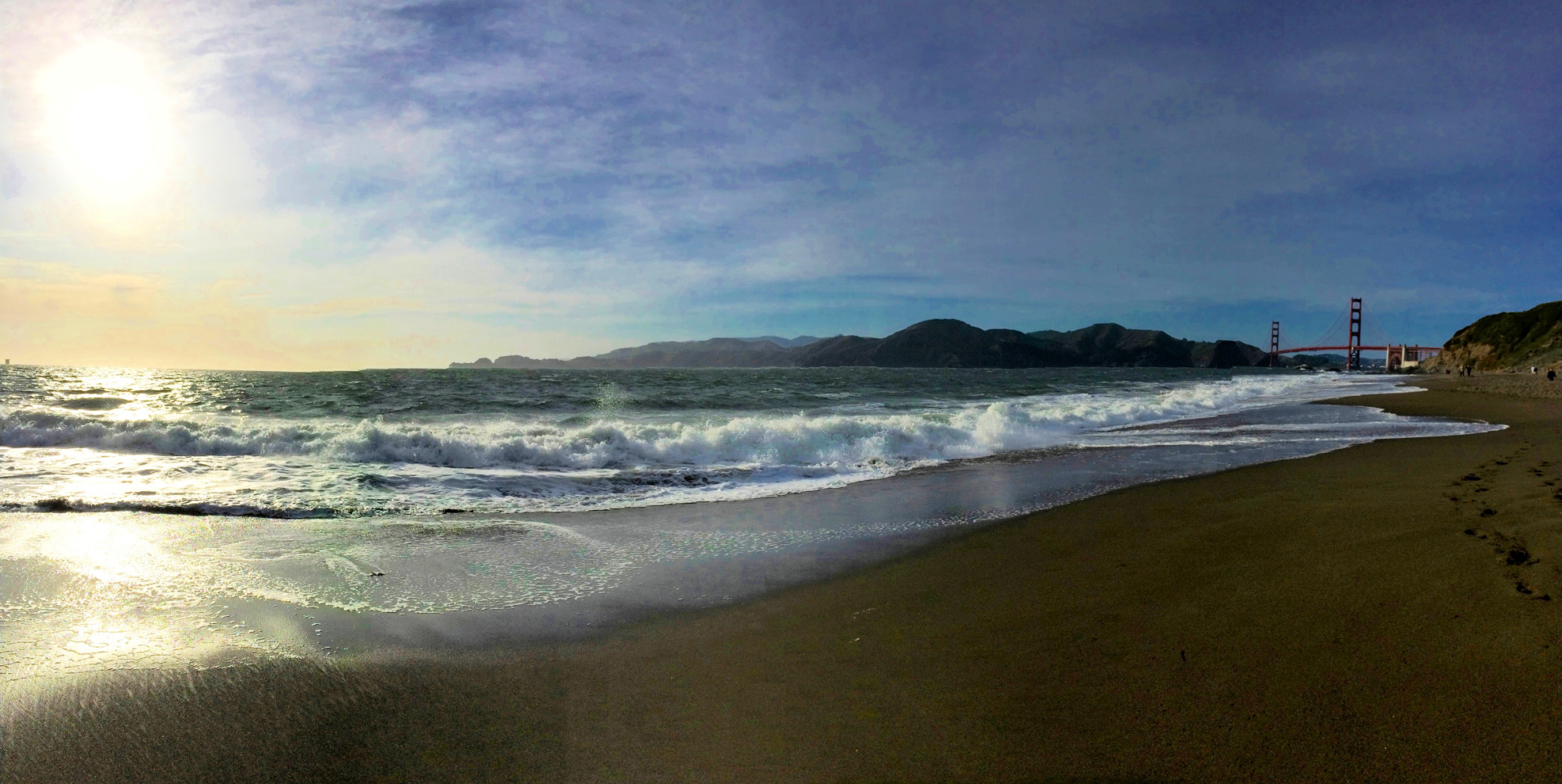
One of the city’s picture-postcard strands, Baker Beach is a mile long, lending itself to a pleasant two-mile loop with Lands End, Marin Headlands and Golden Gate Bridge views. On rare low-tide days, you can even continue to China Beach. Or extend your trek by donning your sneakers and heading up the bluffs into the trails of the Presidio.
San Mateo County
Sharp Park Beach
Just 15 minutes south of the city, one of the area’s only black-sand beaches surrounds the Pacifica Pier. Though some rocky spots can make it a bit difficult to walk this beach barefoot, shoes are a plus because you’ll want to follow the Coastal Trail from the pier area up into the hills to Mori Point—the site of a golden superbloom earlier this spring—and beyond into the headlands for incredible coastal vistas.
Marin County
Stinson Beach
At 3.5 miles long, Stinson’s perfect crescent of sand stretches from the base of Mount Tam out to the mouth of the Bolinas Lagoon. It’s a beach hiker’s dream, with sand sometimes so firm that locals ride bikes to town along the tide line. Sand dollars and mole crabs are everywhere. And if you work up a sweat, you can actually jump into the waves, given it’s the most swimmable strand in Marin County.
Dillon Beach
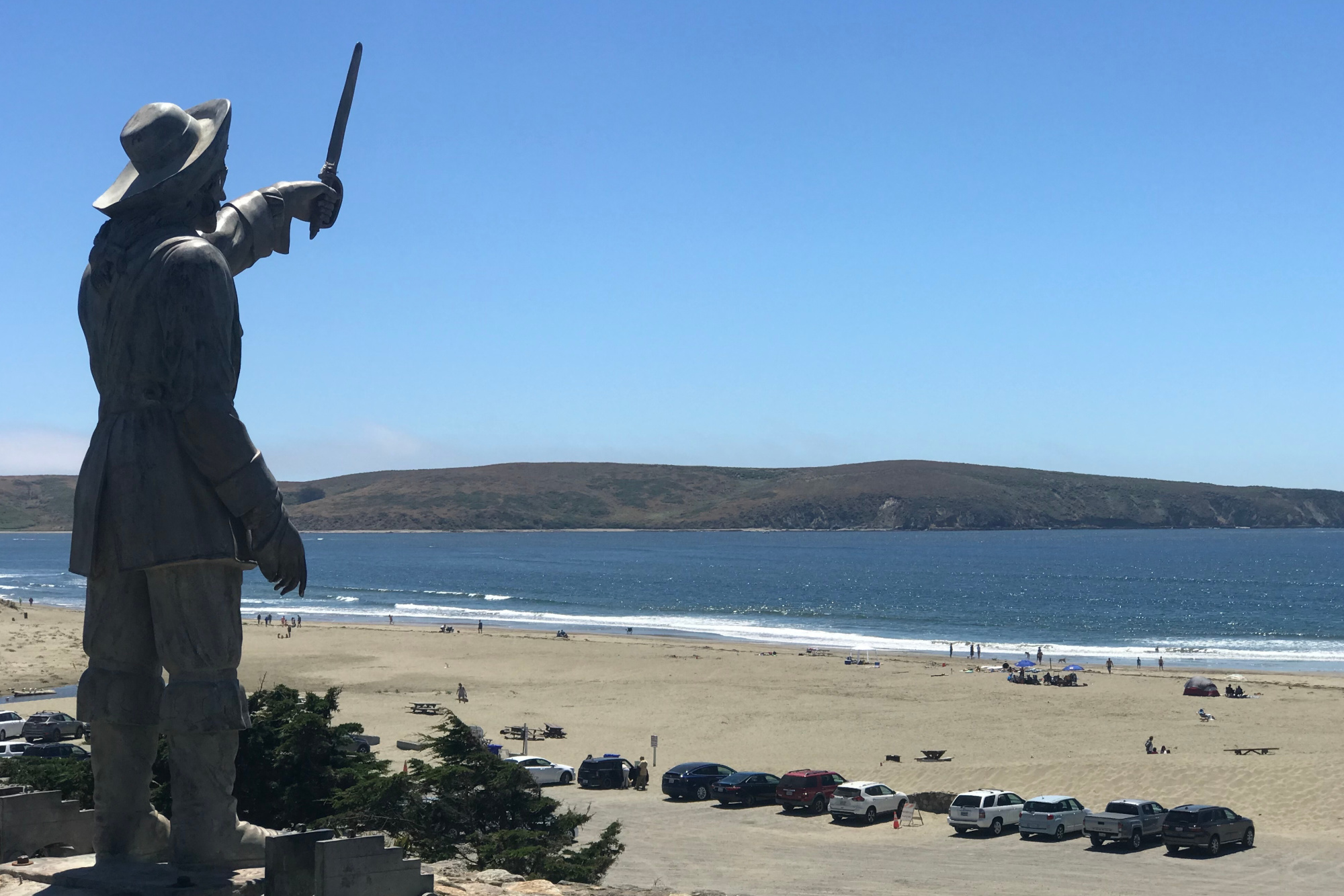
This little-known spot is actually one of the oldest beach towns in California. Founded in 1858, Dillon Beach is at the top left-hand corner of Marin County, a 10-minute drive off Highway 1 from the town of Tomales and about a 90-minute drive from the Golden Gate Bridge. Walk west from the parking area, past the sand dunes, and you’ll reach the mouth of Tomales Bay after about a half hour. Across the water lies the tip of Point Reyes, so close you can sometimes see elk on the hillside. It’s another spot where you can loop out and back for as long or short as you choose.
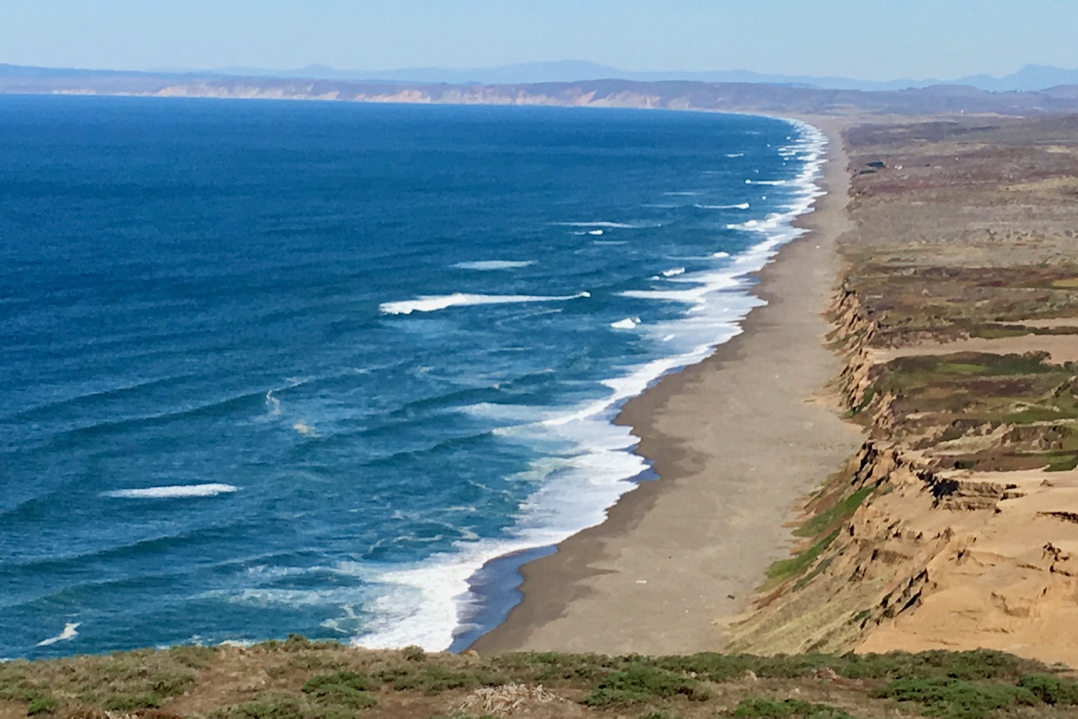
Limantour and Point Reyes Beaches
True barefoot beach trekkers meet their match in Point Reyes: The triangular peninsula is lined with miles and miles of gorgeous, sandy beach. Though usually discussed in terms of its north and south sections, Point Reyes Beach extends for about 11 lonely miles—it’ll just be you and whatever washed up on shore that day. Limantour Beach is a bit more populated with human visitors, sea birds and, increasingly, elephant seals. But given it is four miles long, it doesn’t take many steps to find a stretch of sand all your own.