
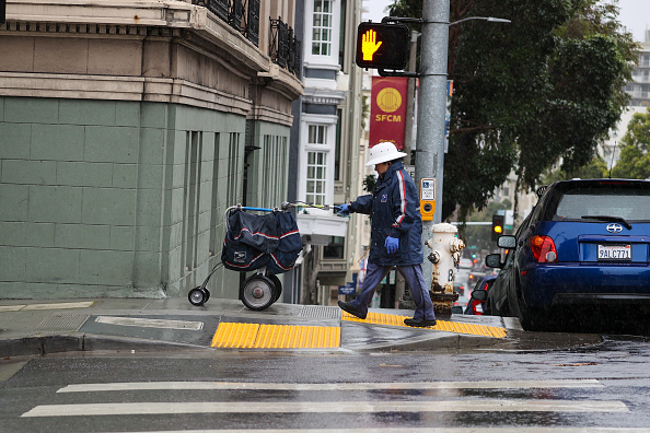
Wet weather conditions are set to soak the Bay Area and beyond this week, thanks to the first set of significant storms forecasted to roll through the region since last winter’s series of atmospheric river-fueled downpours.
The first showers arrived Sunday morning, with light sprinkles giving way to street-soaking rains as a front began moving onshore in advance of a low-pressure system approaching the Pacific Northwest and California’s coast.
More recent models show this week’s rains won’t be as tightly gathered and immediately impactful as previous storms, National Weather Service meteorologist Brayden Murdock said.
“It’s not going to be very well organized,” Murdock told The Standard Sunday morning. “It’s going to be kind of more off and on rain for a good portion of the day.”
He added that people could expect “just a lot of showery activity and plenty of gray skies” throughout Sunday.
Good morning all! Here's a quick look at radar over the last two hours this morning. Some lightning has been seen with cells over the water.
— NWS Bay Area 🌉 (@NWSBayArea) December 17, 2023
Predominantly light rain and scattered showers are expected today, with more widespread rain showers beginning tomorrow. #CAwx pic.twitter.com/8c0xJRVZrl
Early Monday, the cold front and close following low-pressure system will bring moderate to heavy rain, affecting rush-hour commutes on roadways and likely causing delays for BART. As the afternoon approaches, the rain will move inland, leaving showers to continue into Tuesday.
By then, another low-pressure system will approach California’s coast, bringing a new round of lighter showers. Forecast models show that the system will continue south along the coast and send wet weather to central and southern California, including some of the strongest rains since Tropical Storm Hilary.
By Thursday, drier conditions will creep back in and offer a bit of respite as the week closes, with chances of rain rising again just before Christmas Day, Murdock said.
“We could see another shot of rain coming through,” he said. “But the models aren’t in the best agreement on that one just yet.”
According to the weather service, most Bay Area cities and towns should see 2 to 3 inches of rain this week. Since Oct. 1, Downtown San Francisco has logged about 2.38 inches of rain. That’s short of the average 6.54 inches the city sees from Oct. 1 through Dec. 17, making this year the 26th driest out of 173 years’ worth of daily measurements, according to the agency.
Farther afield, Murdock said he didn’t see much coming for widespread urban or small-stream flooding advisories or alerts, let alone impactful rain for air travel. On Bay waters, a rare southerly swell and some stronger winds approaching gale force (above 34 knots per hour) along northern Marin and Sonoma coastal waters could pose dangers for smaller craft and concern for larger vessels.
As for snow and ice forecasts for Lake Tahoe and the Sierra for the week, Murdock said “a lot of moisture will wind up tracking their way as we go kind of late Monday, Tuesday and then into Wednesday.”
“As far as snow levels go, since the cold front has plenty of warm air ahead of it, the snow levels won’t get as low as if this was like a full-on low pressure dragging in just cold air by itself,” he said. “So it might not be the perfect setup for snow, but snow’s still a possibility this year.”