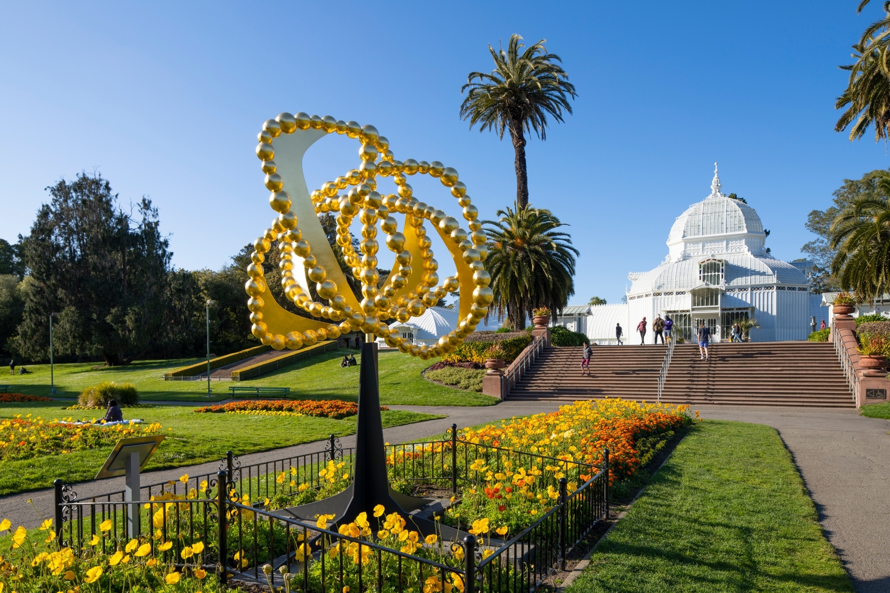
After all this rain, San Francisco is set for the warmest weekend since mid-November before a “weak atmospheric river” heads into the Bay Area beginning Tuesday, according to the National Weather Service.
Saturday will be cloudy with a high of 64 degrees, while Sunday will be sunny with a high of 68. Monday will have similar conditions, being partly sunny with a high of 67. The last time San Francisco experienced a high of 68 was on Nov. 14, according to NWS meteorologist Sarah McCorkle.
This weekend could be the warmest in months because of Sunday’s expected high, according to NWS meteorologist Roger Gass.
Starting Tuesday afternoon, a plume of moisture from the tropics is expected to move over the Bay Area after passing over the Pacific Northwest, McCorkle said. While the rain is expected to linger in the Pacific Northwest, it is expected to move quickly over the Bay Area.
Quite a nice weekend in store! Here are the forecast highs for Sunday, which is expected to be the warmest day of the forecast period. Get out and enjoy it before the next round of rainfall returns midweek.#CAwx pic.twitter.com/Wu4tJlTrBD
— NWS Bay Area 🌉 (@NWSBayArea) January 26, 2024
There will be a slight chance of rain starting Tuesday at 4 p.m., and by Wednesday at 10 a.m., there will be a 90% chance of rain, according to the National Weather Service. Rain is likely to continue from Tuesday into Thursday morning.
The rain will get heavier between late Tuesday and early Wednesday. From 10 p.m. Tuesday to 4 a.m. Wednesday, only 0.13 inches of rain are expected to fall, while 0.42 inches are expected to fall between 10 a.m. and 4 p.m. Wednesday.
Between 10 p.m. Tuesday and 10 a.m. Thursday—the farthest ahead the NWS rain forecast predicts as of publication—1.66 inches of rain are expected to fall in San Francisco.
Rain is expected to fall most heavily in the North Bay, with between 1.5 and 3 inches of rain anticipated, while the coastal hills in Sonoma County are likely to see between 4 and 5 inches.
The East Bay will likely see between 1 and 2 inches of rain, with the Oakland Hills getting closer to 2 inches.
The South Bay is expected to see between 1 and 1.5 inches of rain, while the Santa Cruz mountains are expected to see between 2 and 3 inches of rain. The highest peaks could see as much as 4 inches, McCorkle said.
