Darkening skies replaced a bright sunny Sunday morning as the region braced for another atmospheric river that was expected to bring downpours, flooding and possibly even tornadoes.
Raindrops began falling in San Francisco by mid-afternoon, and forecasters said the wet weather would continue overnight into the Presidents Day holiday Monday.
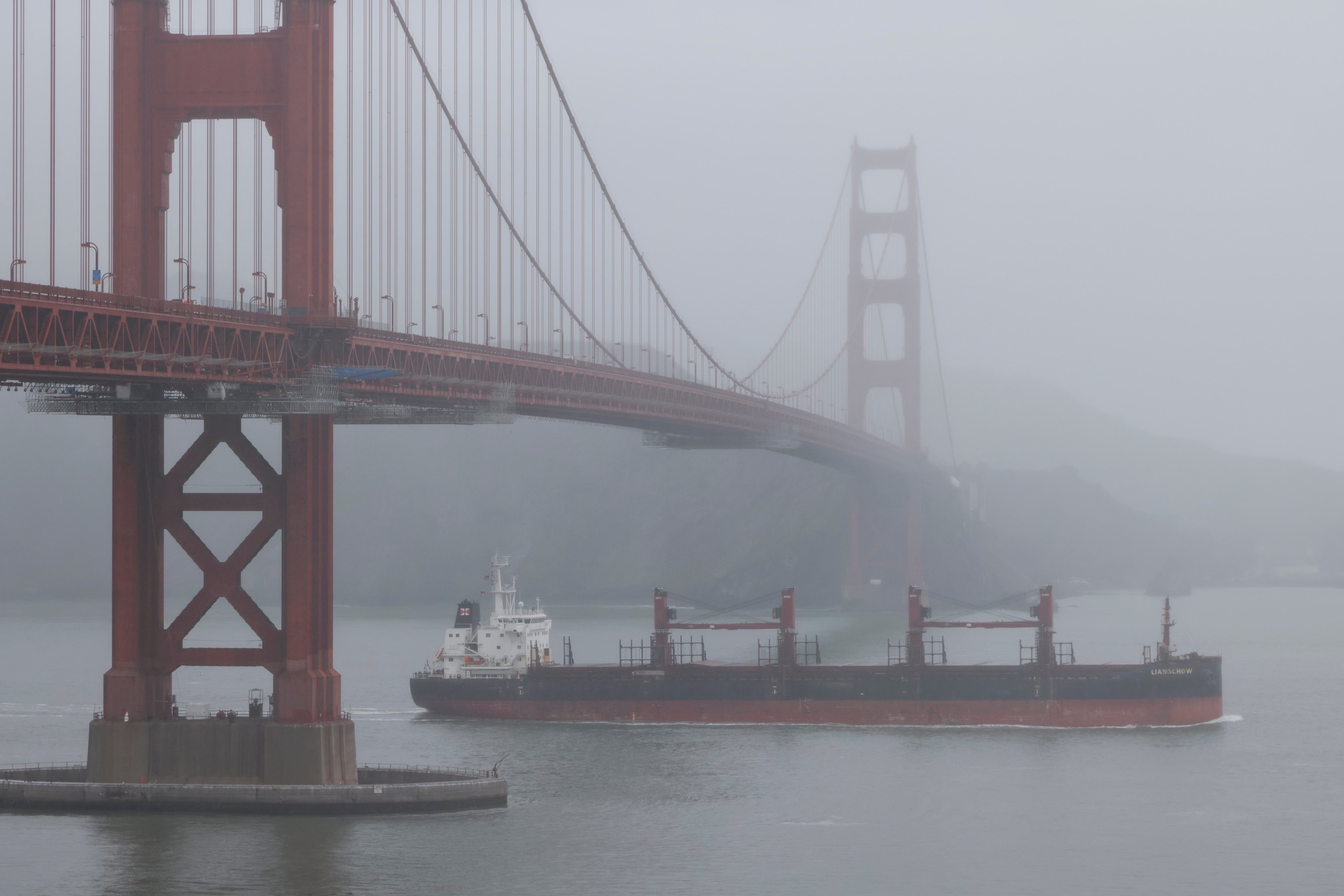
The National Weather Service said it expected the strong southerly winds of up to 35 mph that began early Sunday to keep blowing through the early evening, with rain moving in and becoming heavy at times in some areas.
👀
— NWS Bay Area 🌉 (@NWSBayArea) February 18, 2024
It's coming.
The winds have started and soon the rains will too.#CAwx pic.twitter.com/ObqIK0PZmZ
National Weather Service meteorologist Sarah McCorkle said a warm front, carrying a bit of subtropical moisture, was passing over the Bay Area late Sunday, to be followed by a cold front overnight that would bring more rains and wind.
The weather service also forecast a 5% chance of isolated tornadoes across portions of the Sacramento Valley.
Authorities issued a high-surf advisory late Saturday morning. The warning expired at 4 p.m., but forecasters warned that exceptionally big waves were likely to return before midweek.
Officials said they didn’t expect the storm to be as severe as the one that pounded California earlier this month, downing trees and knocking out power for thousands of people. But they stressed that soils already saturated by previous storms would have less capacity to absorb the coming rains, meaning an increased risk of flooding, falling trees and mudslides.
The weather service issued a flood watch from 10 a.m. Sunday through 10 a.m. Wednesday, warning that roads, streams and creeks and other low-lying waterways and coastal areas would likely see puddling and flooding.
San Francisco’s Department of Emergency Management warned people on X Sunday to “avoid walking near trees, especially in parks.”
Some parks announced preemptive closures Sunday afternoon, including the San Francisco Botanical Garden, the Japanese Tea Garden and the Conservatory of Flowers.
Heavy rain expected today. Transit & traffic disruptions likely. Avoid walking near trees, especially in parks. https://t.co/ISxAff5jhM https://t.co/oRojkPkb8S
— San Francisco Department of Emergency Management (@SF_emergency) February 18, 2024
Meteorologists warned ski enthusiasts and others visiting Tahoe for the long weekend that it was time to head home, as resorts prepared for the storms to bring 1 to 3 feet of snow and powerful gusts of wind ranging from 30 to 40 mph at lower elevations to up to 100 mph at the highest ridge lines.
Authorities issued a backcountry avalanche watch for the greater Lake Tahoe area and the Eastern Sierra in Inyo and Mono counties, with “periods of high avalanche danger in the mountains through Monday morning” and dangerous conditions persisting through Wednesday.
The weather service urged drivers in the mountains to get their travel done on Sunday or postpone it to later in the week as they expected treacherous road conditions and limited visibility, making for a chaotic situation on the roadways that was likely to be exacerbated by holiday traffic.
Forecasters also warned of the possibility of severe thunderstorms, approaching 25% to 30% for the Bay Area and reaching up to 50% for parts of the North Bay, McCorkle said.