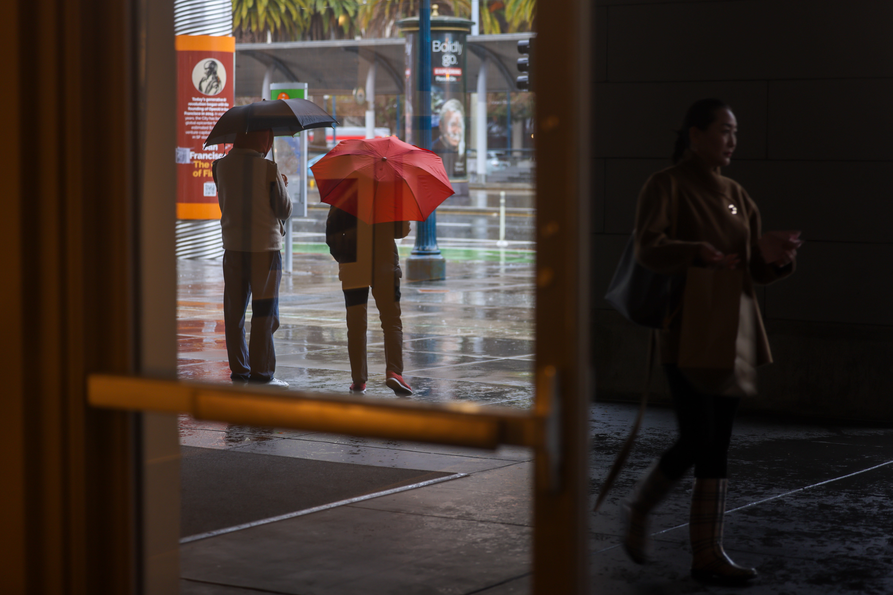
Tuesday afternoon’s rains may have been the wettest for San Francisco in recent memory, but they fell short of record-setting status, authorities said.
A line of strong storm cells passing over the city and across the Bay Area triggered flash flood warnings, leaving parts of neighborhoods like Hayes Valley and Cow Hollow burbling over with backed-up waters.
The storm system also brought sudden downpours and frequent lightning in the afternoon, leading forecasters to issue a flash flood warning for San Francisco that expired around 7 p.m. without major incident.
Flooding in Hayes Valley this afternoonhttps://t.co/PHDNjbaXsn pic.twitter.com/HZxsNeBrbb
— Drew Tuma (@DrewTumaABC7) February 20, 2024
The downtown weather station’s wettest day within recent memory remains Dec. 31, 2022, when it logged 5.46 inches during an atmospheric river storm, just short of the 5.54 inches that fell Nov. 5, 1995.
National Weather Service meteorologist Brayden Murdock credited the storms’ arrival at the right time of day and place for the excessive rain, preliminary listed as 1.48 inches in downtown San Francisco over the last 24 hours as of 4 a.m. Wednesday.
The National Weather Service issued an urban and small stream flood advisory for the city and much of San Mateo County through 7 p.m. Tuesday, and tacked on a flash flood warning for San Francisco through 4 p.m. The weather service’s California Nevada River Forecast Center map for the Bay Area estimated that 1.24 inches fell in S.F. between 10 a.m. and 4 p.m. Tuesday.
San Francisco 1.50" rainfall Feb 20, 2024 a daily record? No, the Feb 20th record is 2.22" in 1914. Wettest Feb day on record 3.38" Feb 15, 1891. #CAwx
— NWS Bay Area 🌉 (@NWSBayArea) February 21, 2024
“When you get into that area, that’s kind of tucked in the southern portion of the low pressure, that does wind up typically being a convective environment,” Murdock said, outpointing the chilly low-pressure systems swinging down from the Gulf of Alaska and atmospheric river-driven subtropical plumes as sources of precipitation.
“It’s not abnormal for us to see this,” Murdock said. “It’s just been kind of a long time since we’ve had a consistent setup like this.”
Murdock said thunderstorms intensified over the ocean before hitting land, with warming daytime temperatures and ocean environment generating extra lift and churning that strengthened the convection.
A city Department of Public Works spokesperson told The Standard that crews were mostly able to stay on top of issues Tuesday, despite some isolated localized flooding that otherwise receded quickly. The department handed out 60 handbags to residents, while crews assessed and responded to 104 blocked catch basins, 26 downed trees or large branches and 36 potholes. Teams also put back five manhole covers displaced by storm waters.
Elsewhere in the Bay Area, Oakland got between 0.5 and 0.75 inches of rain, while parts of Marin County also topped 0.75 inches and San Jose saw about 0.25 to 0.33 inches.
Scattered showers across the region Wednesday are expected to yield to partly cloudy skies with light southwest winds and highs in the upper 50s. The next chance for rain could come early next week.