California has entered spring with an above-average mountain snowpack and major reservoirs in good shape for a second consecutive year, staving off immediate water supply concerns but not allaying drought worries in a warming world.
The California Department of Water Resources measured the water content of the Sierra Nevada snowpack Tuesday at 110% of the April 1 average, a benchmark date because that is when it has historically been at its peak and helps inform runoff forecasts.
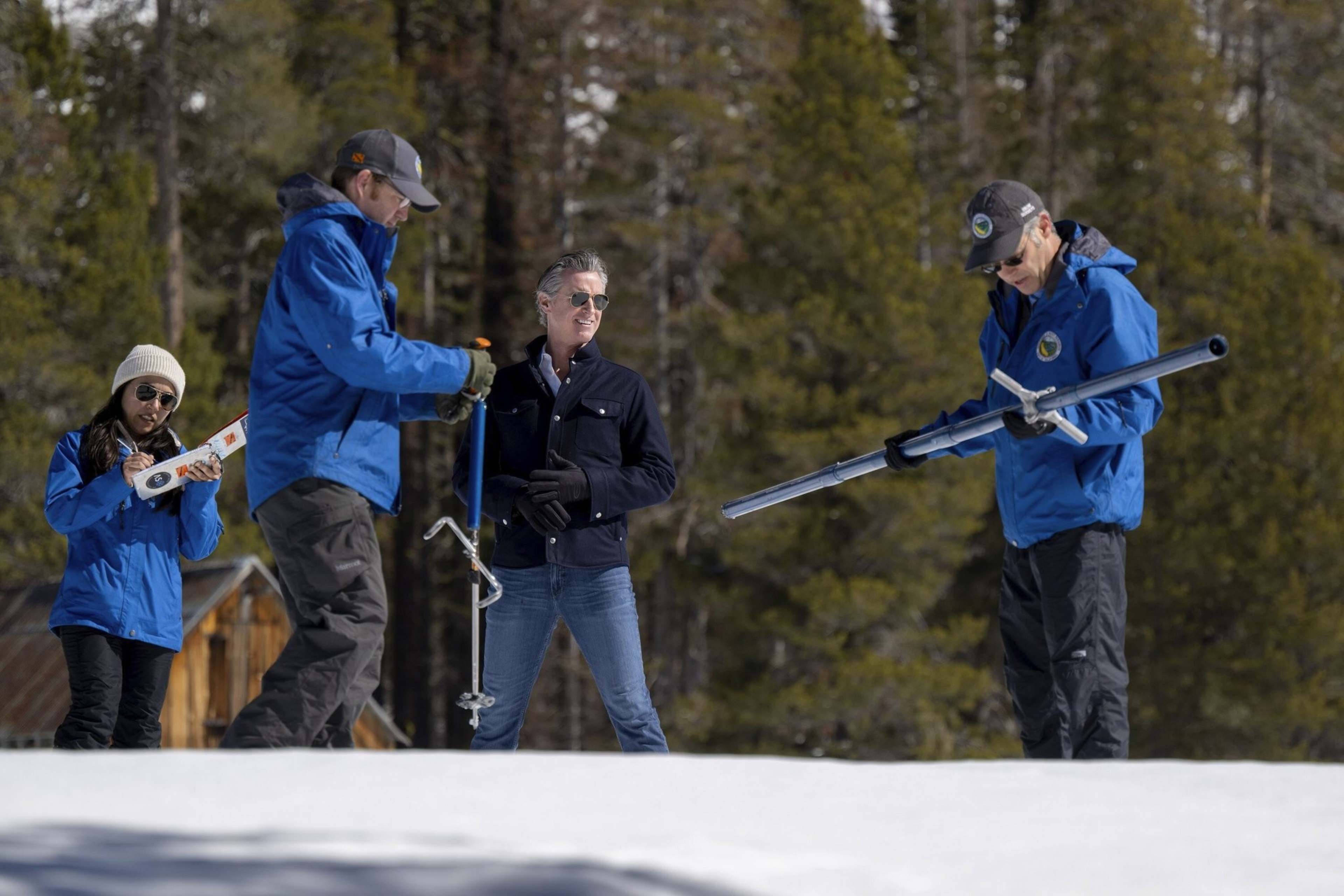
Gov. Gavin Newsom had to wear snowshoes to follow a measuring crew across a meadow south of Lake Tahoe at Phillips Station, where in April 2015 predecessor Jerry Brown stood in a parched, brown field and ordered cities to cut water use by 25% due to drought.
“We’re here nine years later reconciling the extremes, reconciling the extreme weather whiplash, and I think today punctuates the point,” Newsom said in a livestream.

While reaching just above average was good news, the current snowpack pales in comparison to April 2023, when the Sierra snow water content stood at 237% of average after a barrage of atmospheric river storms ended three years of drought.
That extraordinary season filled major reservoirs well above historical levels, a welcome situation that continues.
This past winter coincided with a strong El Niño (opens in new tab), a natural and occasional warming of part of the Pacific Ocean that can lead to more precipitation than usual in California but doesn’t always come through.
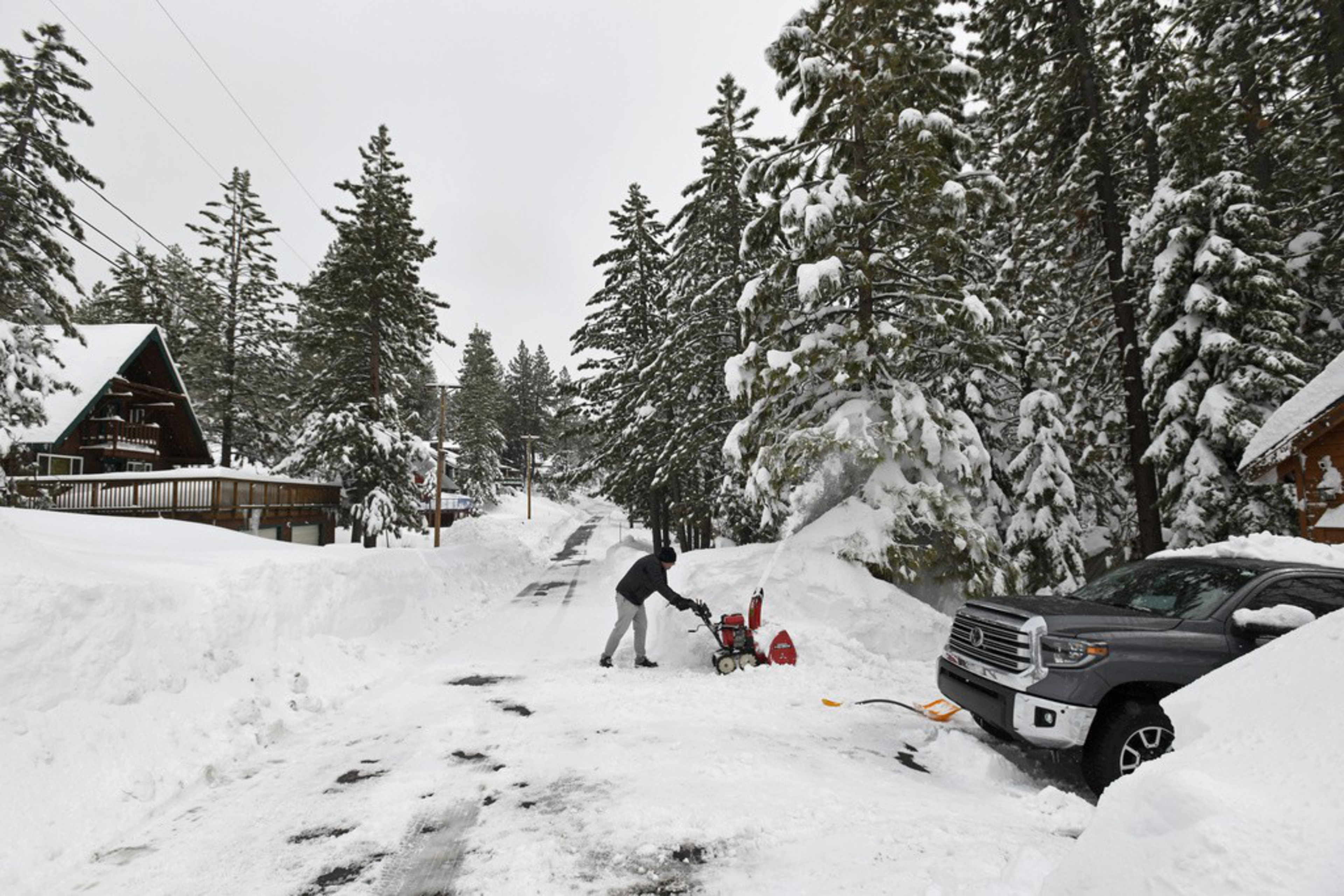
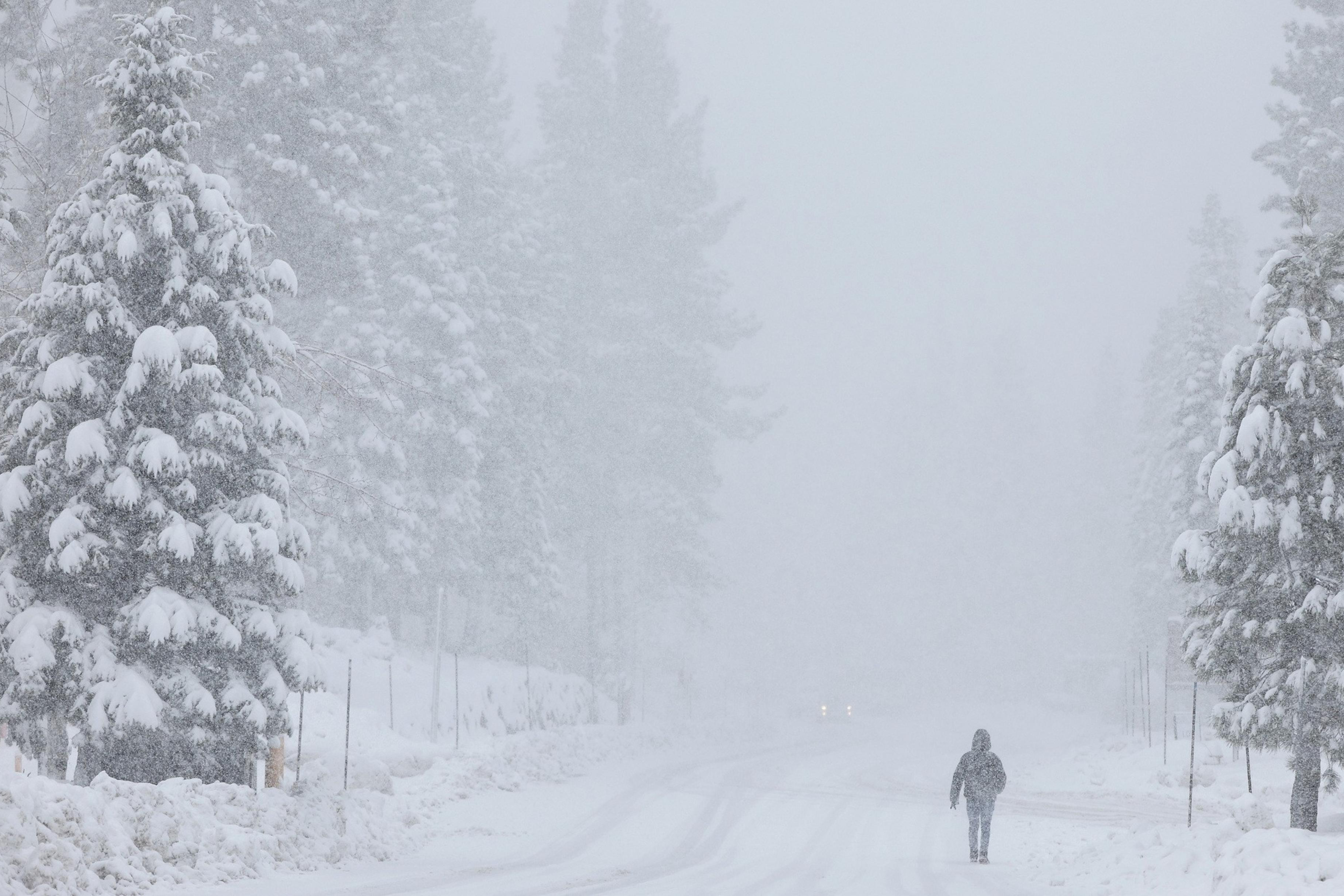
Just getting to the average range for peak snowpack this year was not a given after a significantly dry fall and early winter (opens in new tab). Early storms had warm precipitation that did not build snowpack. That “snow drought” finally ended in February and March (opens in new tab).
“Average is awesome,” said Karla Nemeth, director of the Department of Water Resources. “We’ve had some pretty big swings in the last couple of years, but average may be becoming less and less common.”
The Sierra snowpack normally supplies about 30% of California’s water and is sometimes described as a frozen reservoir.
How the snowpack translates into runoff into rivers, streams and reservoirs will be seen over the next few months. Additional cold storms, such as one expected later this week, could keep the snowpack intact, but warm spells could hasten the melt.
“California has had two years of relatively positive water conditions, but that is no reason to let our guard down now,” state climatologist Michael Anderson said in a statement. “With three record-setting multi-year droughts in the last 15 years and warmer temperatures, a well above average snowpack is needed to reach average runoff.”

