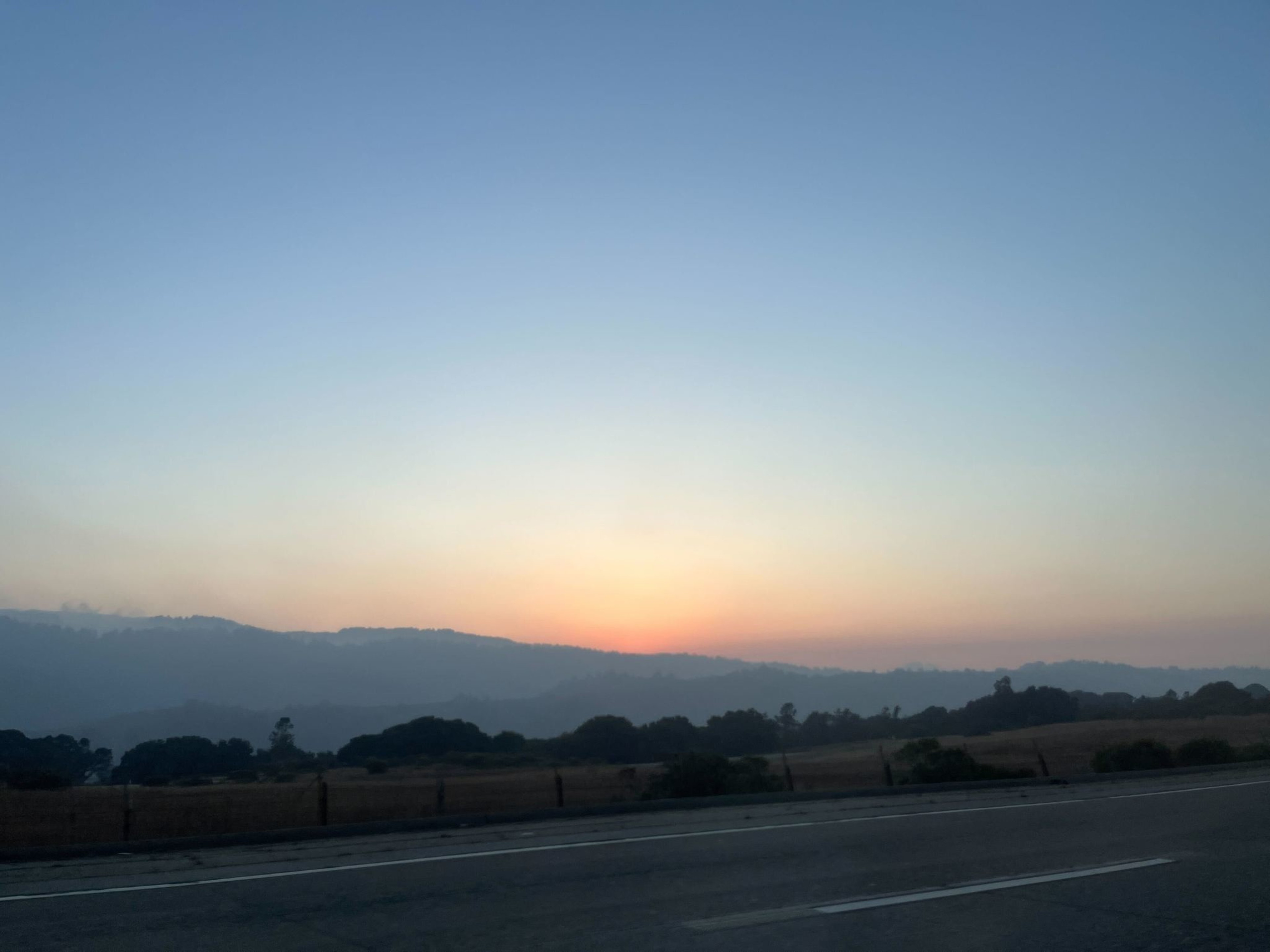
Weather conditions that trapped stagnant air over the Bay Area this weekend will slowly begin moving on as the weekend winds down.
National Weather Service meteorologist Rachel Kennedy told The Standard on Sunday that light winds and temperature inversions in recent days kept air from mixing in the lower atmosphere, leading to deteriorating conditions.
“For the last few days, we’ve had a ridge of high pressure basically centered over us,” Kennedy said. “We’ve had pretty light winds basically everywhere. That basically allows the air to remain stagnant in the lower levels.”
Changes are expected to begin when a “shortwave trough” passing to the north brings gustier offshore winds from inland toward the coast Monday and Tuesday, Kennedy said.
Forecast models suggest another weak system arriving Thursday might bring drizzle, with a separate, stronger, low-pressure system Friday into the weekend bringing higher chances of rain for the Bay Area.
On Sunday morning, the Bay Area Air Quality Management District staff issued its first Spare the Air alert (opens in new tab) since last week (opens in new tab), predicting moderate air conditions (opens in new tab) over the greater Bay Area into at least mid-week, due in part to agricultural smoke drifting from the Central Valley.
The alert makes it illegal to burn wood or manufactured fire logs in fireplaces, woodstoves and inserts, pellet stoves, outdoor fire pits, or any other devices.
The government’s AirNow map (opens in new tab) showed elevated air-quality readings Sunday for San Francisco and many Bay Area cities.
The San Francisco Department of Emergency Management on Sunday said air quality was unhealthy for sensitive groups, urging anyone active outdoors to take breaks and watch for symptoms. People with heart or lung conditions were warned to cut down on prolonged outdoor activity.
Residents commented on social media on the hazy skies and high readings from air-quality monitoring apps.
