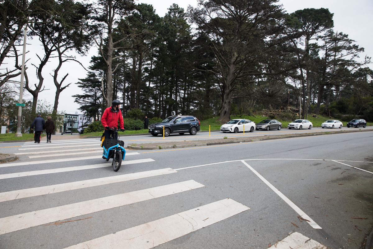
When Jason Ford moved back to San Francisco in May, he found a city transformed by COVID-19. Parklets were everywhere, the Financial District was a ghost town and the Tenderloin had become a flashpoint in the culture wars. He also discovered that the city had closed off many streets to cars, and that he could ride his bike from his neighborhood to the next without worrying about being hit by an automobile.
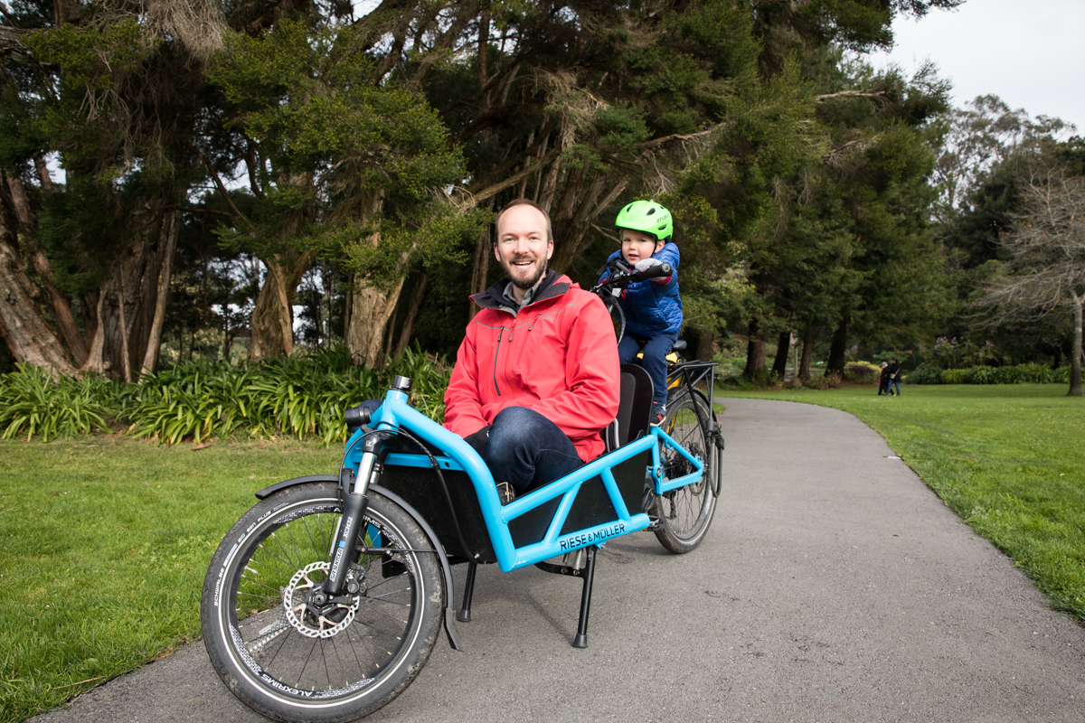
Ford had been living in Shenzen, China, for a year and a half when he returned to the Sunset District—his home since 2010. Coming back to San Francisco with a newborn and a toddler in tow, Ford was more aware than ever of the dangers of biking in the city. Riding along the Great Highway and John F. Kennedy Drive, both closed to cars for the last two years, now felt like skiing a green route down a bunny hill—easy, safe and family-friendly.
“Suddenly, green routes became this really important thing to me,” Ford said.
That got him thinking: Where else in the city do these family-friendly green routes exist? Google Maps could provide data about hills and bike lanes, but when it came to riding with his 3-year-old, Ford wasn’t ready to head off in just any direction. And typical maps didn’t show interruptions in safe routes—like the narrow and car-filled Transverse and Crossover Drives that connect JFK Drive to 23rd Avenue. So when Ford or any of his neighbors in the Sunset want to take their kids for a ride over Golden Gate Bridge, there’s no entirely safe route to get there.
“There’s these gaps in the network,” Ford said. “And I thought, that has to be documented.”
So Ford set out to build his own map of the city, one that puts safety first and shows, with a very simple color-coded system, how anyone can navigate the city along the safest, least car-centric roads. He started with an iPad and a stylus, then grabbed a pencil and some graph paper. Finally, he moved to something more sophisticated—an overlay on Google Maps. To Ford, the goal of the map was to highlight where anyone, including his 3-year-old, could ride safely. He posted an in-progress map on Twitter this month to share with locals and get feedback.
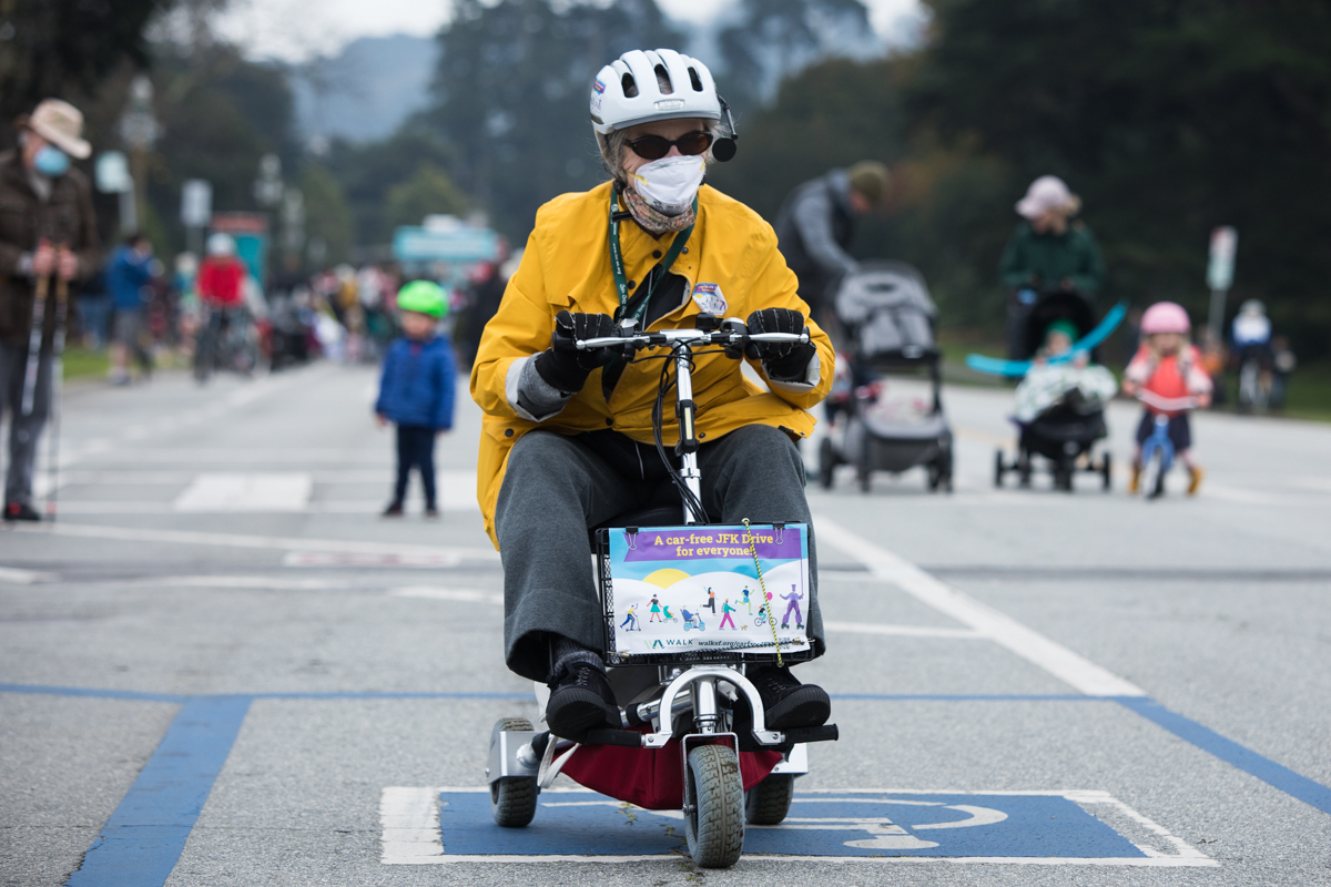
Ford’s mapping project comes at a time of heated debate about how bikes and cars should get along in the city. While cyclists have been ecstatic about the closures of JFK Drive and the Great Highway, many car-owners in the neighborhoods are opposed. The same goes for other pandemic-born “slow streets” around the city.
Ford’s map highlights main arteries through the city and rates their safety for a biker using the same metrics that ski resorts use to rate trails. The green circle routes indicate the streets are car-free and thus safe to ride for people of all ages. The blue square routes like Lake and Ortega streets are for more experienced riders because they require sharing the road with cars, either in a protected bike lane where speed limits are high or along streets where speed limits and vehicle traffic are low.
The black diamond routes, like Steiner and Valencia, are for experts only, as they offer no physical barriers between bikes and cars, even with the latter moving at high speeds. Ford added an extra category based on the San Francisco Municipal Transportation Agency’s high-injury network, rating those routes—on which three-quarters of severe and fatal traffic injuries occur citywide—red.
Many of the blue routes on Ford’s map are part of the SFMTA’s Slow Streets program, launched in April 2020. It closed some residential streets to through traffic to prioritize biking and walking, offering residents safe ways to move around the city during the shelter-in-place order. Two years later, some neighborhood streets like Lake and Sanchez streets remain open to local traffic only.
Not everyone agrees that Slow Streets should stay; critics say the program is poorly designed. Some argue they’re bad for business, though others say they’re a boon.
SFMTA sees them as a win for both public health and safety and for helping the city achieve its climate goals. Its latest evaluation of the program found a 36% decrease in collisions on its Slow Streets as daily traffic and vehicle speeds dropped and pedestrian and bicycle use increased. In August, the SFMTA board voted to keep Sanchez, Lake and Shotwell streets and Golden Gate Avenue closed to non-local traffic permanently.
A bigger battle over the future of JFK Drive will be decided early next year. Nesrine Majzoub, marketing and communications director at the San Francisco Bicycle Coalition, said her group has been calling on the Board of Supervisors to support existing car-free avenues and look at opening new car-free corridors in the eastern areas of the city.
”We’re focused on not just creating great individual corridors that are safe and protected, but also that those are connected to each other,” Majzoub said.
With his map, Ford, is likewise hoping to call attention to areas of the city that lack safe connections, making them hubs for the dozens of traffic injuries and deaths that occur each year.
Updated this year, the city’s Vision Zero Action Strategy aims to eventually eliminate all traffic deaths citywide, though progress has been slow. SFMTA spokesperson Erica Kato said the agency is working on safety updates—like lowering speed limits, improving visibility or giving pedestrians a head start—on 80 miles of the “high-injury” network and has 80 more to go. It’s also working to connect car-free streets like Ford’s green routes to roads with protected bike lanes to create a network of safe streets by 2024 that spans the entire city.
It’s that kind of progress that Ford is after. He said he remembers in 2016 when the first raised and parking-protected bike lane went into Valencia Street. It felt like a huge win for the biking community. But today, Valencia is seen as unsafe again, and the work to make San Francisco’s streets a place for everyone continues.
“What is a victory one day, future generations may look back and say this isn’t good enough,” Ford said. “So we raise our standards.”