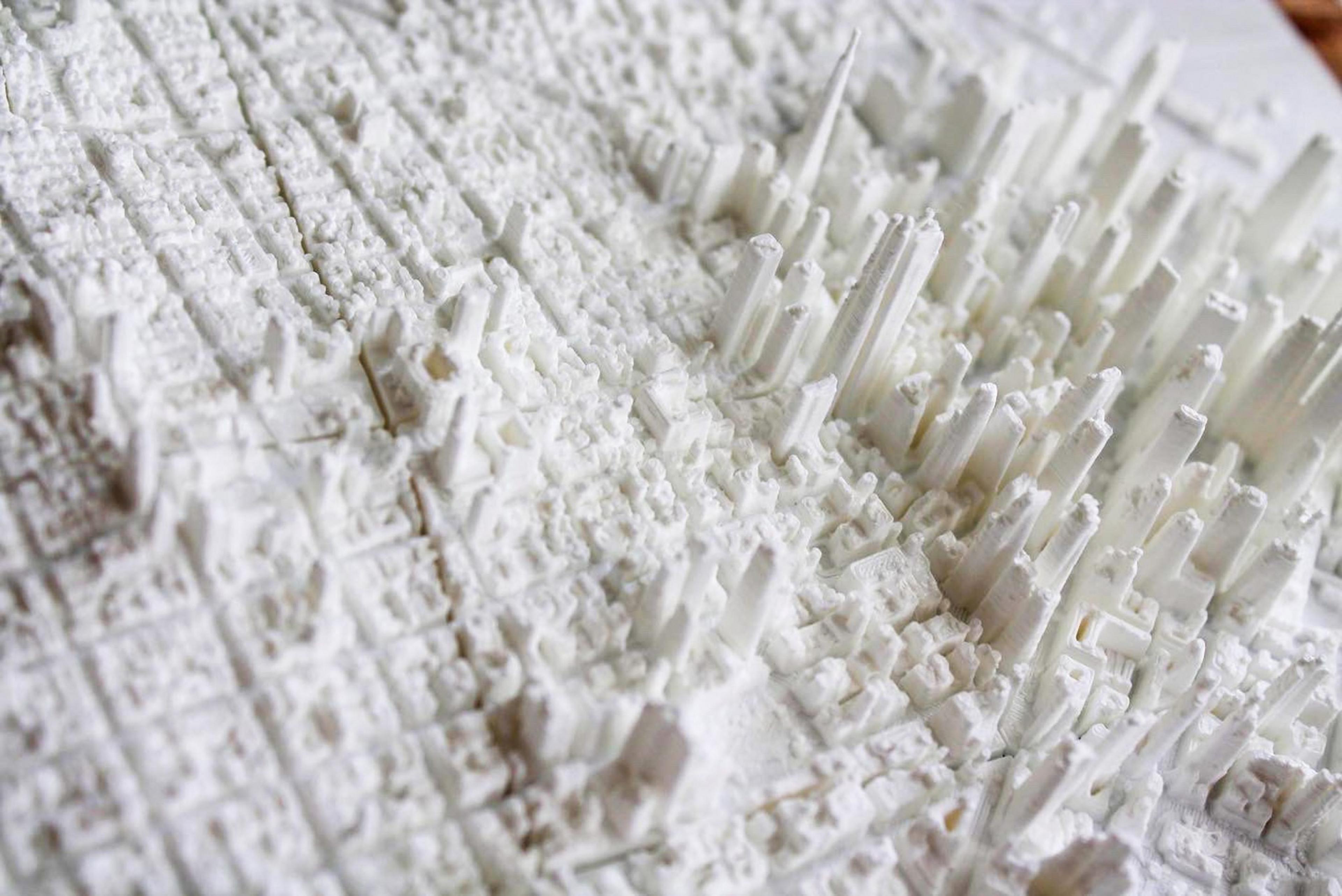
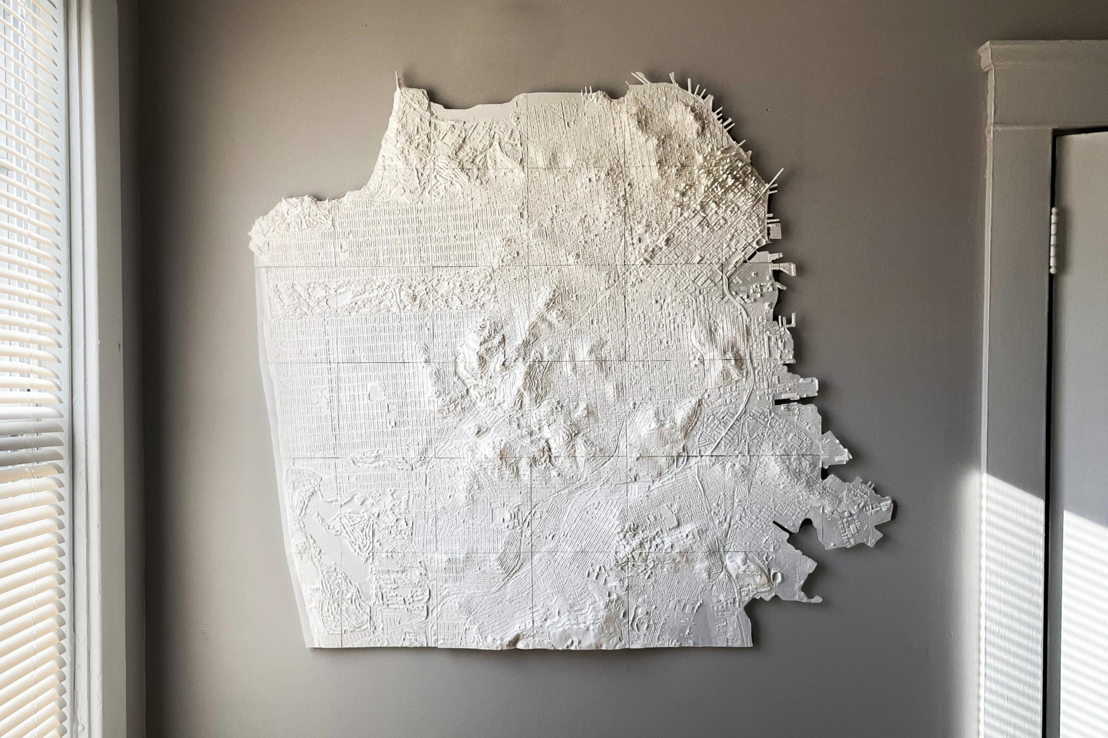
When people yearn for home, some watch movies about their city or call up family. San Francisco native Nick Hollister, however, 3D-printed a giant topographically accurate map to feel closer to his roots.
“Printing each tile, I got to know each neighborhood a little,” Hollister said.
Hollister grew up in the Western Addition with his three siblings before moving in June to Providence, Rhode Island, where he works for Hasbro designing toys.
The Purdue University product design graduate now proudly hangs the framed model of his native city on his wall.
It looks like a plaster cast, but is actually printed from four spools of white plastic filament spanning 2.5 kilometers in length.
The complete scale-model of San Francisco, made of 36 eight-inch plastic tiles, took roughly 720 hours to print.
The filament is “extruded”—think of a hot glue gun—by an Ender-3 Pro 3D printer layer-by-layer, 0.2 millimeters at a time into 8-inch tiles. The tiles are eventually pieced together like a jigsaw puzzle into the 14-by-10-foot, birds-eye-view of San Francisco.

To create his 3D model, Hollister uses topographical data produced by LiDAR scans (opens in new tab) taken from December 2017 through April 2018 by the U.S. Geological Survey—available on OpenTopography (opens in new tab), a public database of topographical scans.
The data is then ingested by 3D modeling software Blender to create files the printer can read, and then it’s just a matter of letting the roughly $200 printer do its job.
One of the benefits of using this data is the accuracy, Hollister said. Because the maps are created using aerial topographical scans of San Francisco, Hollister feels it’s a more authentic form of re-creating San Francisco than painting or sketching a map would be.

If he zoomed in enough, Hollister says, he could print cars and people exactly as they were at that moment in time.
“It’s interesting to hold the tile because it’s like a freeze frame of that moment in 2018,” Hollister said. “This is a more accurate portrayal of the city.”
Hollister said he misses San Francisco for the abundant parks around the neighborhood he grew up in, but also the industrious energy he believes San Franciscans emanate.
“The feeling of the city, it’s young. It’s something you don’t get in rural areas like where I went to school,” Hollister said. “Everybody’s doing something.”

Hollister has also 3D-printed a model of the Foggy Bottom neighborhood in Washington, D.C., the campus of his alma mater, Purdue University, and, earlier this year, a separate 3D map (opens in new tab) of some of San Francisco’s northern neighborhoods, including the Presidio, the Marina District and North Beach.
Hollister used to sell the digital 3D printer files he created for between $20 and $30, but stopped after being overwhelmed with 3D-printing troubleshooting questions from customers.
He said he would likely sell other 3D-printed maps if time allows, but cautioned they are time-consuming and would be more expensive as a result, so it could be months before he is ready to set up shop—if he ever decides to do that.
“I haven’t arrived at an actual price,” Hollister said of making new model maps for customers.
Hollister said his two current SF model maps are priceless and not for sale.
“They hold personal value,” Hollister said.
