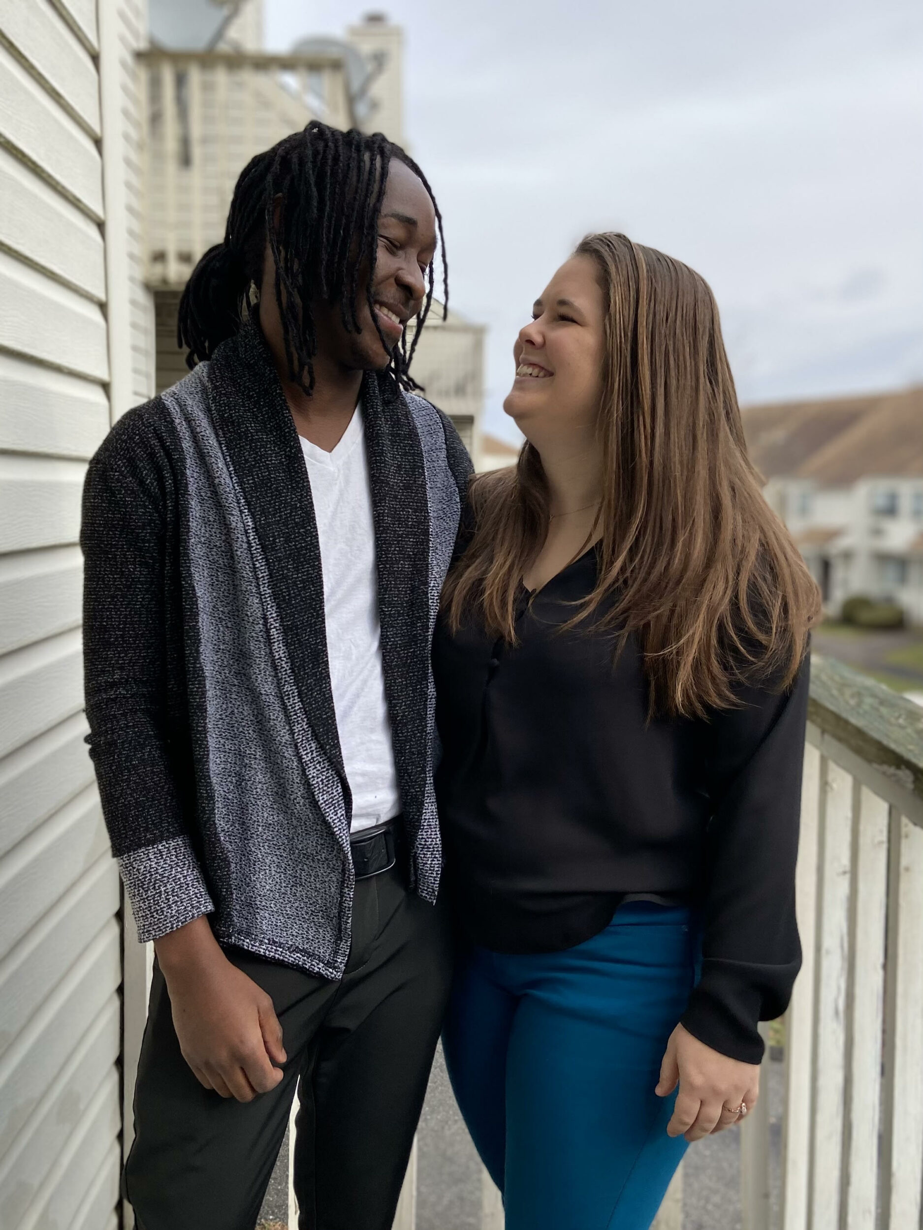
Sheria Musyoka was jogging on Lake Merced Boulevard when a car fatally struck him. He was 26 years old and new to San Francisco, having moved to the city just eight days prior with his partner, Hannah Ege, and their 3-year-old Theo.
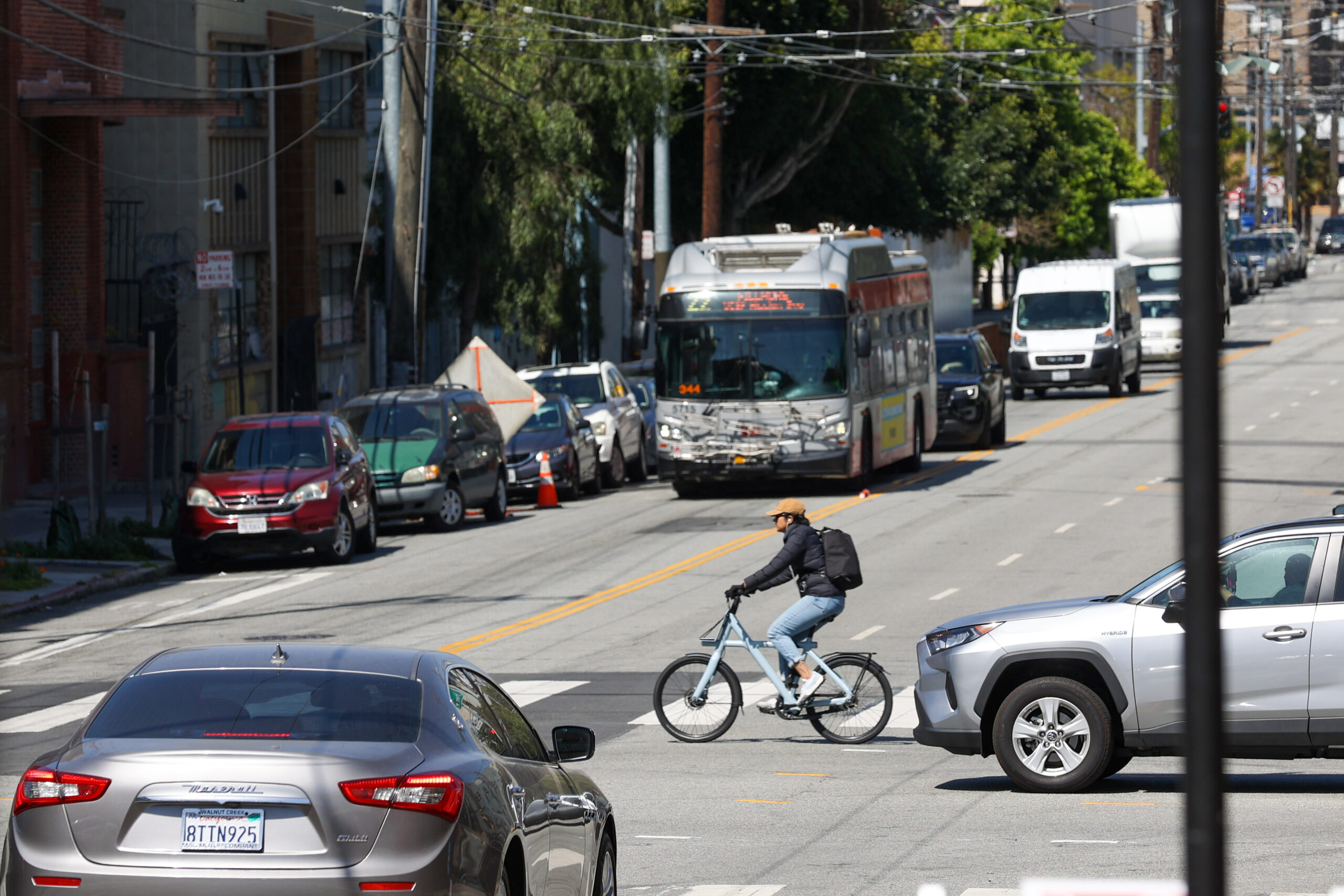
Musyoka was one of 27 people killed in traffic crashes in the city in 2021, and 230 people since 2014, when the city set a goal to eliminate traffic fatalities by 2024.
“It wasn’t an accident,” Ege said. “It could have been very preventable.”
Musyoka’s death is marked as one of the blue dots in a constellation of local traffic fatalities mapped by Stephen Braitsch, an activist trying to honor those killed on San Francisco streets and hold the city accountable for their untimely deaths. Accompanying the map are photos of the victims with calls for more information about the ones who remain unidentified.
Braitsch said he created the cartographical rendering of crashes to raise awareness about street safety, crowdsource information to get a fuller picture of victims and urge the city to take action.
The San Francisco Municipal Transportation Agency may have the same data, Braitsch said, “but they’re clearly not moving fast enough on it.”
Every time a car kills someone in San Francisco, the city sends a rapid-response team to investigate the collision site and see if it needs any design upgrades. Braitsch is working on a second phase of his mapping project to find out how often the city followed through on suggested street changes following a traffic death. He said he wants to drum up enough political pressure to spur the city and Board of Supervisors to do something about the deaths.
That call is shared by Ege. The city planned to improve pedestrian safety at Lake Merced Boulevard but had yet to implement any changes when Musyoka was killed.
“The roads just need to be fixed,” Ege said.
Walk SF, a group dedicated to making San Francisco’s streets safer, has been working with the city on its Vision Zero plan, a blueprint to bring traffic death rates to zero in the next two years by improving safety at the city’s most dangerous intersections. Walk SF spokesperson Marta Lindsey said the city needs to double down on prevention if it’s serious about fixing those intersections before the 2024 deadline.
“We need to be ahead of the game with all of these dangerous streets,” she said.
The fatalities tell only one slice of the story, Lindsey added.
In addition to the 30 or so traffic deaths recorded each year are more than 500 severe crashes that people sometimes narrowly survive. Lindsey said the city’s high-injury intersections deserve just as much scrutiny and attention as the ones that see an inordinate number of fatalities.
Another fact that deserves more awareness, she said, is just how deadly the roads are for the city’s elderly residents. While seniors make up 15% of San Francisco’s population, they comprise around half the city’s traffic fatalities.
“We should be designing our streets with those people first—and kids,” Lindsey said.
Safety, she added, “shouldn’t be a roll of the dice.”
Braitsch’s map launched this week to coincide with the Ride of Silence, a global event that honors people killed by cars. The vigil—one of hundreds throughout the nation—is scheduled for Thursday night in San Francisco.
Lindsey said she hopes the project brings more people into Families for Safe Streets, a coalition of victims and people trying to make city streets safer. Even though Ege now lives in Philadelphia, they joined the group to channel their grief into action.
“What else am I supposed to do?” Ege asked. “There is not really any other option.”