
Yet another big storm is forecast to blow through the Bay Area this week, with the biggest impacts expected throughout the day Tuesday.
Wet, windy weather will likely arrive late Monday and slowly taper off by Thursday, but not before dumping up to 3 or 4 inches of rain in the hardest-hit areas.
Also, on Monday morning the National Weather Service expanded its wind advisory beyond the coast to include hilly areas in the interior North Bay, East Bay and eastern Santa Clara County.
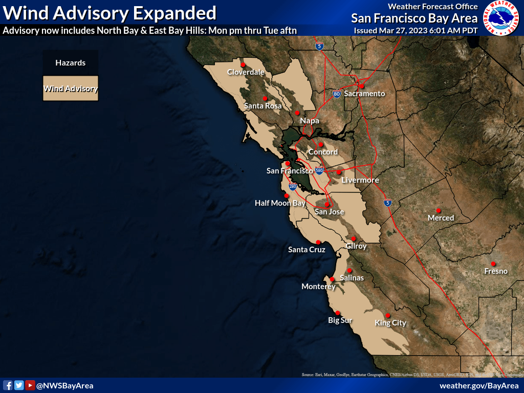
Forecasts show peak wind gusts reaching 55 miles per hour with even stronger gusts possible at higher elevations.
The highest rainfall totals—up to 4 inches—are expected in the North Bay’s coastal and interior mountains, the highest peaks in the Santa Cruz Mountains and in the Santa Lucia range in San Benito and Monterey counties, which could also see some snowfall.
The San Francisco Peninsula, the East Bay and valleys in the South Bay can expect from between a half-inch to an inch-and-a-half of rain as the weather moves south across the region in bands, with a possible break expected before Wednesday’s showers.
In addition to the cold, wet and windy conditions, coastal areas will see an increase flood danger as a storm surge of 1 to 2 feet results in “astronomical high tide levels” that should peak at 12:54 p.m. Wednesday and 1:18 a.m. Thursday, according to the National Weather Service.
Copyright © 2023 Bay City News, Inc.