If you’re like me, most of the things you learned in high school science courses are hard to recall. From the difference between a vein and an artery to the difference between DNA and RNA, I’m really not your guy.
But we San Franciscans now find ourselves in the midst of a La Niña, a recurring weather event caused by changing surface ocean temperatures in the Pacific Ocean.
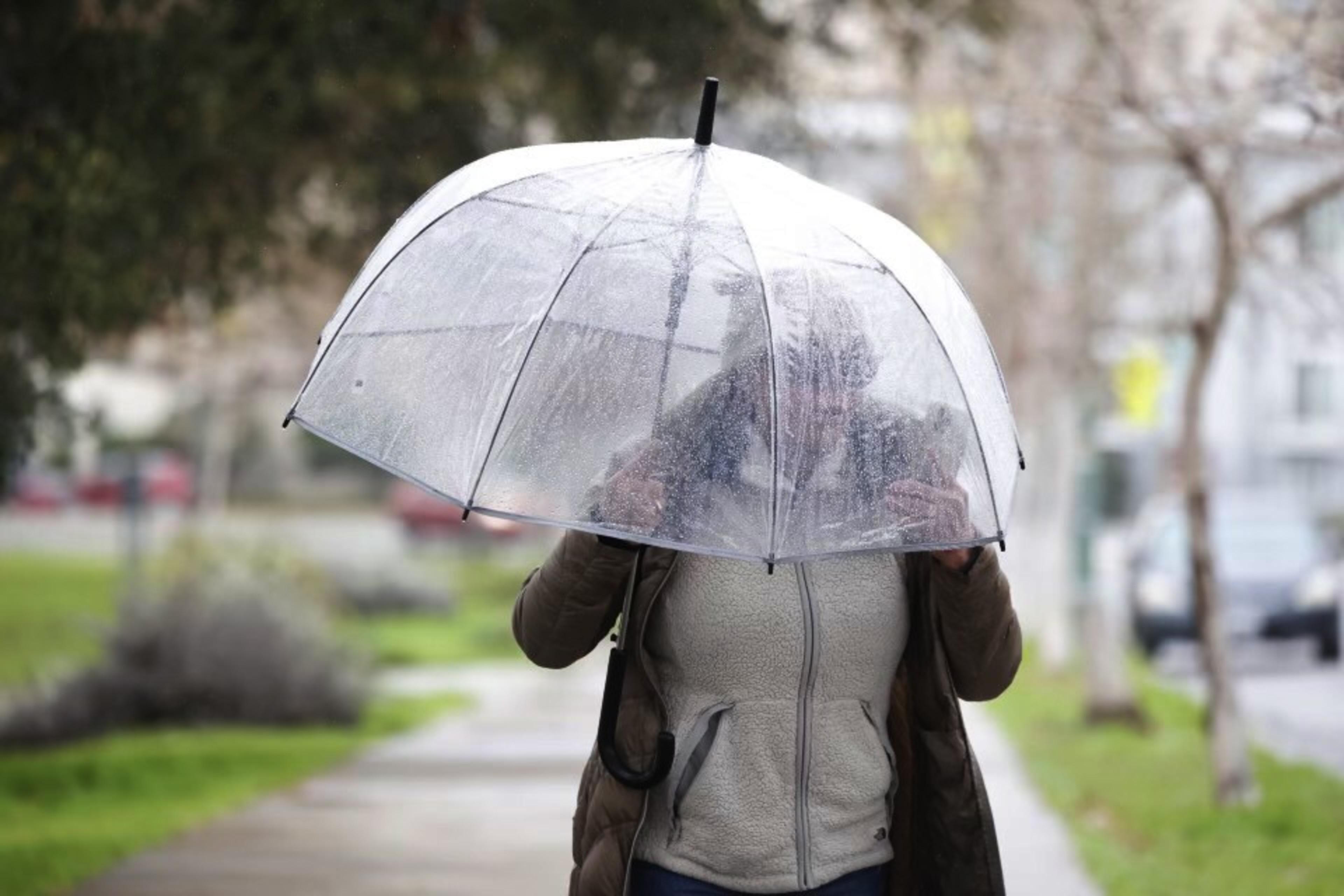
How we should be preparing for the La Niña is not only a matter of concern for meteorologists or farmers, but also for the laymen, who, amid a shift from autumn to winter, will be forced to make daily decisions about whether a fleece sweater or a puffy coat is more appropriate.
So, what is a La Niña and what can we expect?
First, it’s important to understand there’s a difference between a La Niña, which means “little girl” in Spanish, and an El Niño, which means “little boy.” Both are technically phases of the El Niño-Southern Oscillation weather phenomenon, but they bring about opposite conditions.

Subscribe to The Daily
Because “I saw a TikTok” doesn’t always cut it. Dozens of stories, daily.
The two weather patterns are caused by a shift in the power of trade winds, which move from east to west along the Equatorial Pacific Ocean. During an El Niño, those winds weaken, bringing warmer water to the surface of the ocean.
During a La Niña, those winds strengthen, bringing colder water to the surface of the ocean. These phenomena alter precipitation rates and air pressure around the globe, leading to marine life adaptations and natural disasters like thunderstorms or floods.
Last month, the National Oceanic and Atmospheric Administration recorded a fall in half-a-degree Celsius in the central Pacific Ocean, making it officially a La Niña for the first time since this past spring. Those conditions remain present and are expected to continue (opens in new tab) through the winter, making it shorter than other La Niña events, which can last as long as a year.
Typically, La Niña brings wetter weather to Northern California and drier weather to Southern California, although this varies with every event — so it’s too early to know exactly how it will play out here.
Sometimes, the effect is strong, like during the July 2016-through-June 2017 La Niña, in which precipitation in Northern California was up to 187% higher (opens in new tab) than normal. But, a data analysis from Golden Gate Weather Services (opens in new tab) showed that since the 1950s, there has not been, on average, substantial differences in precipitation between La Niña events and otherwise.
Now, in case it starts pouring every day in the coming weeks, you’ll have a bit of information to drop if you ever find yourself immersed in weather small talk.
That’s more than you (or me) could’ve said this morning.