Last Wednesday, I found a wallet on the northwest corner of Market Street and Van Ness Avenue that belonged to a guy in his 20s. He lived a few blocks away, in a part of town that, despite being only blocks from City Hall and running along one of San Francisco’s major thoroughfares, somehow doesn’t belong to any neighborhood at all.
As I set about returning the wallet to its owner, I realized that I finally had the chance to investigate a question I’ve been obsessed with since I moved to San Francisco — and which has recently fueled a spicy neighborhood debate. What the hell do we call this area?
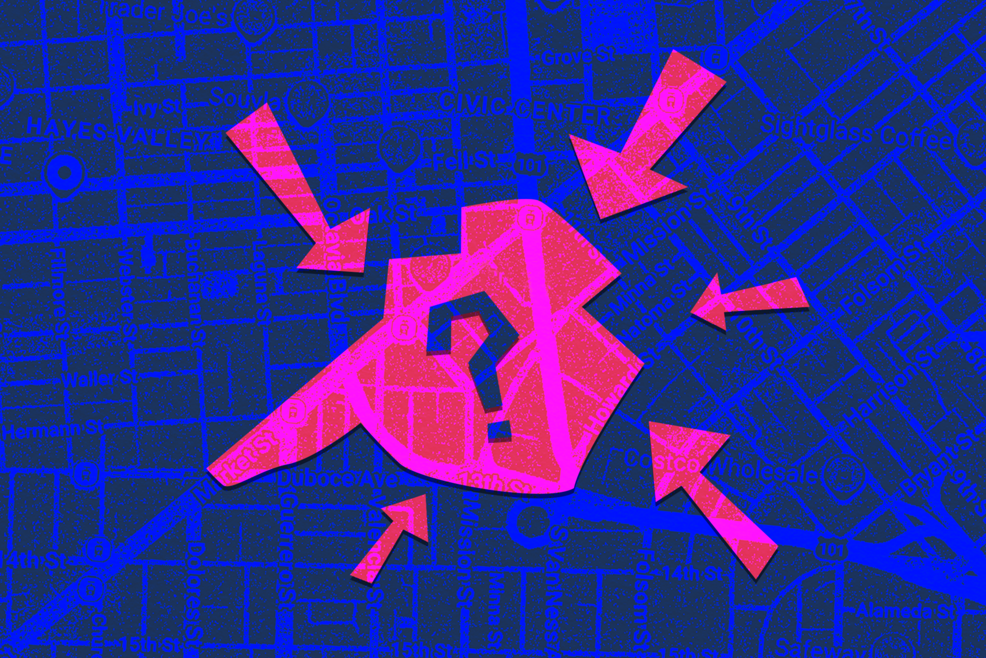
A vaguely cleaver-shaped hood, running along Market from about Octavia Boulevard to Van Ness, the area in question is really a nexus of six neighborhoods, patching together bits of Hayes Valley, the Lower Haight, the Mission, Civic Center, Mid-Market, and SoMa. It’s best known as the home of Zuni Cafe and Martuni’s, but it mostly feels like negative space, a jumble of diagonal-running alleys south to the Central Freeway and 13th Street.
In the 20th century, when it was an industrial precinct crisscrossed by streetcar lines, the neighborhood was known as “The Hub (opens in new tab).” In the 2010s, to accompany a wave of new high-rise residential development, there was a short-lived push to rebrand it “The Quad (opens in new tab).” More recently, office brokers have included it (or some of it, anyway) in the attempted rebranding of the wider Mid-Market neighborhood as “Lower Hayes.”
When I handed the wallet over to the security guard at the guy’s building, I asked what neighborhood she considered it to be. “Lower Haight?” she offered. When the wallet’s owner messaged to thank me, I asked him the same question.
“I used to say Mint Hill, but nobody knew where that was,” he texted, referring to the nearby looming federal edifice (and karaoke bar of the same name (opens in new tab)). “Now I say ‘around Duboce’ to people in SF and ‘between Mission and Hayes’ to people not familiar with SF.”
Official maps are of little use. Neither the San Francisco Municipal Transportation Agency nor the Planning Department (opens in new tab) gets granular in delineating neighborhood boundaries; in fact, they don’t acknowledge the existence of Lower Haight, Mid-Market, or Civic Center at all.
Rather than stand at the intersection of Franklin and Market screaming, “Where the hell am I?” into the void, I kept asking locals.
Two Community Ambassadors on patrol said they think of it simply as the “Market Street corridor.” Ditto a server at Rocket Sushi. A rep at Enterprise Rent-a-Car called it the “border of SoMa and the Mission.” An employee at Bob’s Custom Framing said, “No Valley” — not to be confused with “Noe Valley” — then corrected himself. “Hayes Valley, I mean. Or Lower Haight.”
Others triangulated via landmarks. “I usually say I’m just outside Hayes Valley,” said the proprietor of mattress store Bedroom and More, who has been there for 22 years. “Or I just say Zuni. They usually find me.”
A Zuni hostess who answered the phone was uncertain. “That’s a good question,” she said. “I would consider it Hayes Valley, but I don’t consider myself a professional.” Typically, Hayes Valley is understood to be north of Market Street, so she was correct.
No consensus emerged. When I called a rep at McRoskey Mattress, which recently vacated its home of 100 years on Market Street for the Design District, he said staff had referred to their former neighborhood as Civic Center. Suzanne Ford, executive director of San Francisco Pride, said her Mission Street office is in SoMa. An e-cyclist stopped at a red light had the most definitive reply. “It’s a transitional zone between Lower Haight and the Mission,” she said.
Some of the neighborhood’s newer residential buildings seem eager to leverage the confusion to their advantage. The Ansel (opens in new tab), on the south side of Market Street, describes itself as part of Hayes Valley. But its marketing copy claims it’s also “nestled at the meeting point of Mission, Upper Market, and SoMa.”
Photographer and Rosebud Gallery (opens in new tab) owner Cabure Bonugli, who has lived in the area for years, took the most nuanced view. He initially thought The Hub was a fake name fabricated by Realtors, until he learned about its history as the main location for goods coming into the city. “So I started calling it that to educate people,” he said. “But no one knows what that is.”
His elegant naming solution?
“No Man’s Land.”
Your turn, readers: What neighborhood do you think this is? Is it part of a bigger area? Does it deserve its own moniker? Respond to the poll and send us an email if you have a better idea for a name.