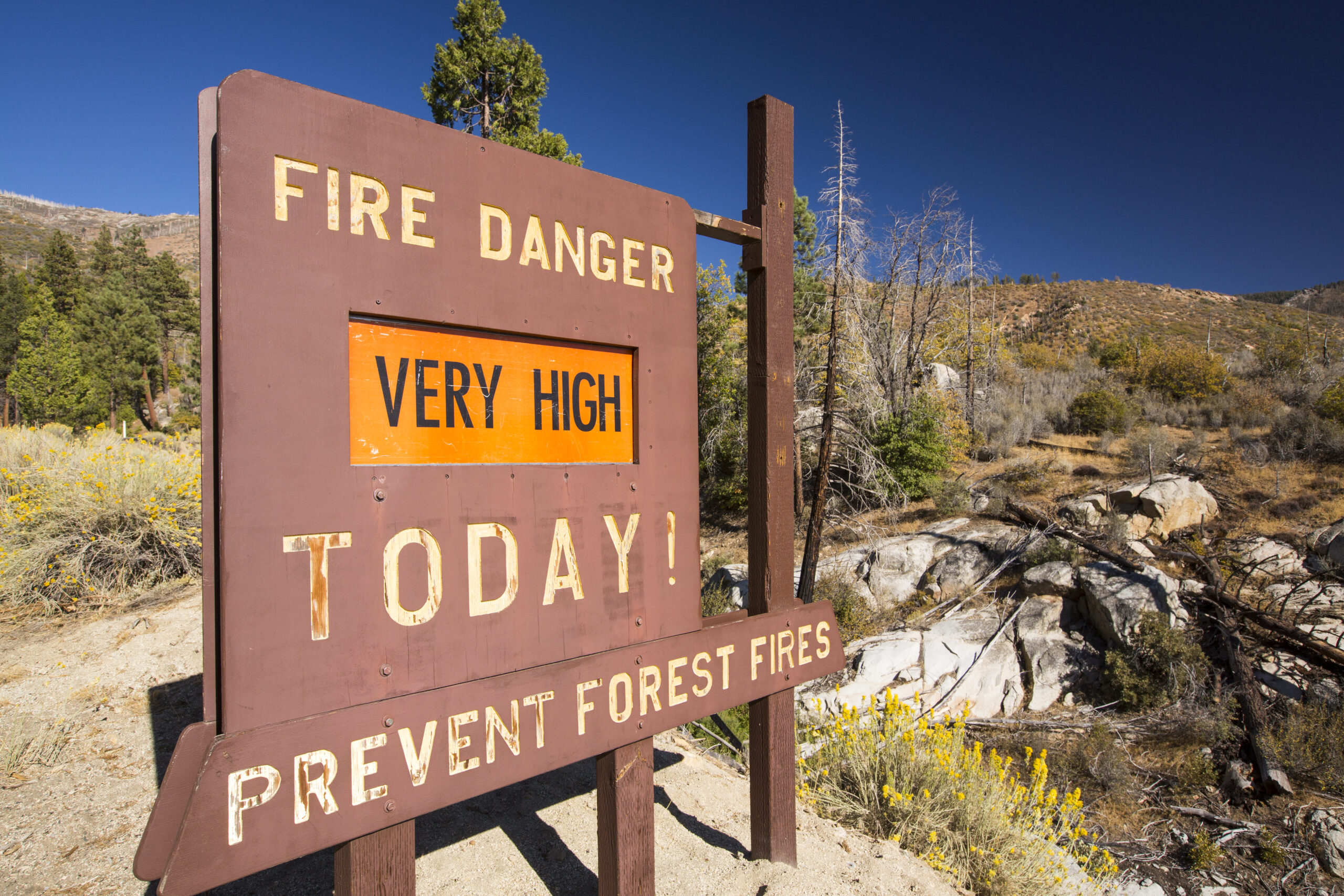
With California having seen enough record-breaking rainfall to end its epic drought, many residents might think their lush, green state is due for an easy wildfire season this summer and fall.
Think again.
AiDash, a San Jose-based startup founded in 2019, confirmed what many wildfire experts have suspected: More rain means more vegetation, and more vegetation means a higher risk of wildfires.
“Our goal was to transform agencies with assets in utilities and energy, helping them in their operations and maintenance,” said AiDash CEO Abhishek Singh. “These are things impacted by climate, with challenges like wildfires, storms, power outages.”
Singh’s company anticipates climate challenges by analyzing satellite imagery of the ground for features like vegetation, elevation and slope. AiDash simultaneously measures risk factors like precipitation, temperature and humidity to develop a fuller picture. By mapping out how California looks and changes—in real time—Singh says AiDash’s models can predict which regions are at risk for massive blazes.
This is not necessarily new technology, as the California Department of Forestry and Fire Protection (Cal Fire) and other climate organizations have long traced vegetation patterns and their ties to wildfires. But AiDash’s work promises to make its predictions dynamic, sensitive to rapidly changing climate and ground-floor conditions—factors that overwhelmingly influence a fire’s severity and ability to spread.
“The underlying factors that have led to huge fire years in California are still there,” U.S. Forest Service ecologist Eric Knapp told The Standard in December. “Our forests tend to be in pretty poor condition. There’s way too much fuel on the ground. There’s too much fuel continuity. Those conditions can lead to a big fire year.”
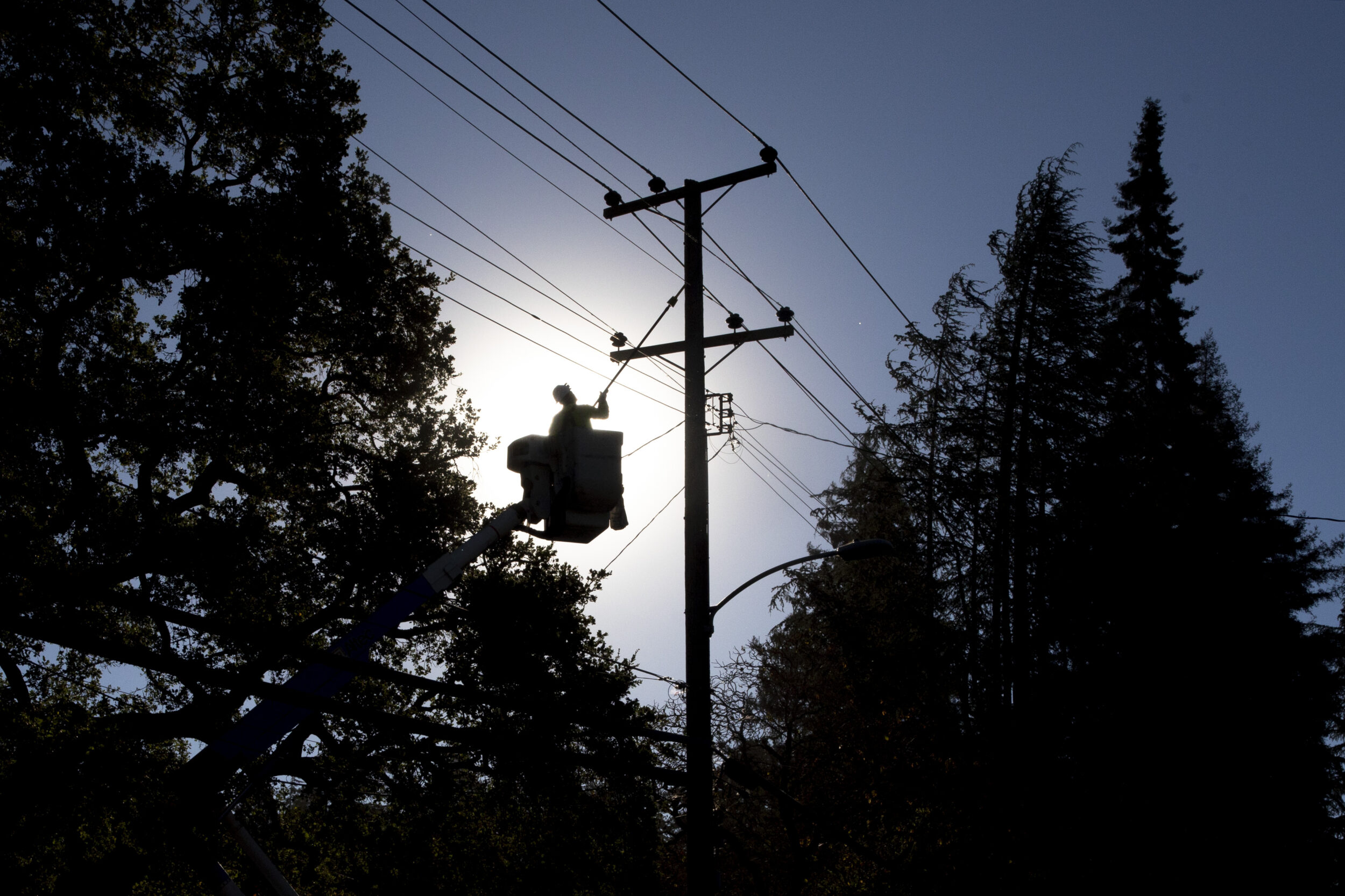
AiDash primarily teams up with utilities to help them monitor how new vegetation, trees or brush grow around power lines and other infrastructure. The company say this practice is especially important during wildfire season, when a single lightning strike can cause thousands of acres of burn.
The Dixie Fire, 2021’s largest, was set by a fir tree that fell on a PG&E line; three years earlier, officials linked the state’s deadliest wildfire on record, the Camp Fire, to sparks thrown by faulty PG&E power transmission lines in Butte County.
“Utilities are supposed to maintain vegetation along power lines, but you’d be surprised that it’s almost $10 billion in annual spending in the U.S. alone,” Singh said. “Using satellite imagery and AI analytics, we help tell [utility companies] where they should maintain vegetation and the distance between it and the power conductor.”
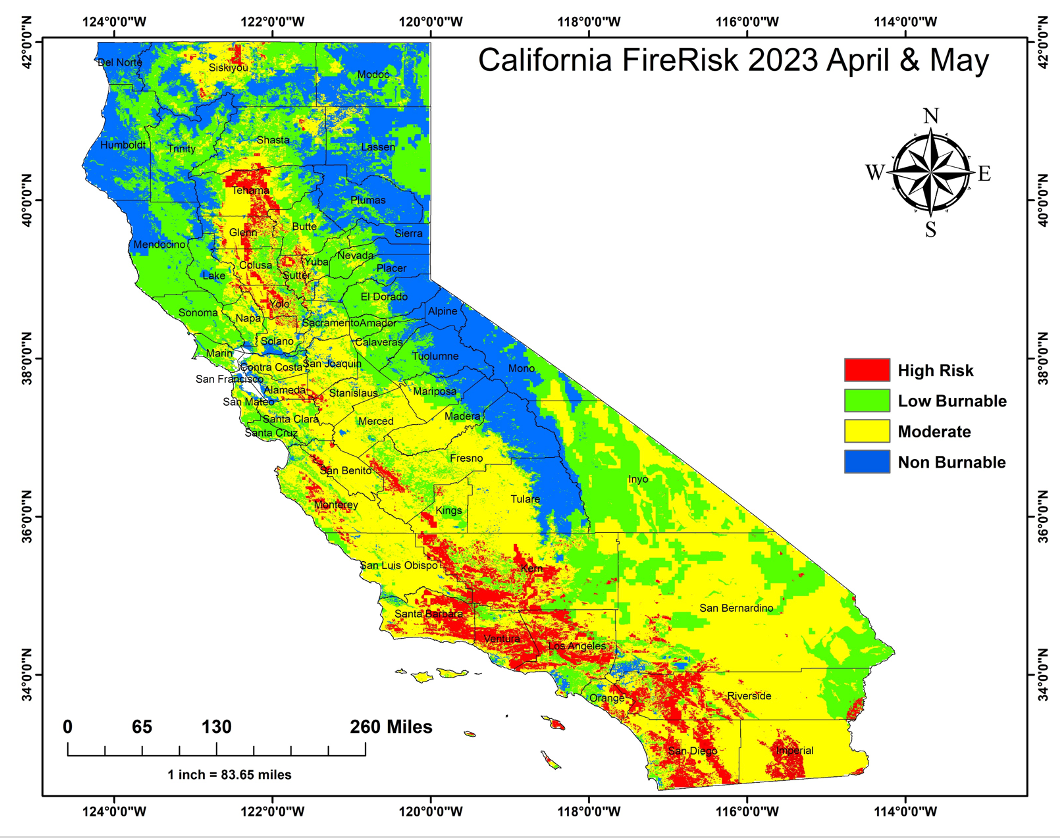
Though Northern California has seen its share of deadly and massive wildfires in recent years, AiDash’s model predicts that Southern California counties might face a worse fire season. Of the 10 counties where AiDash sees the highest risk, the top five are all located near Greater Los Angeles.
But it may comfort residents of fire-scarred Sonoma County to know that none of the Bay Area’s nine counties made the list.