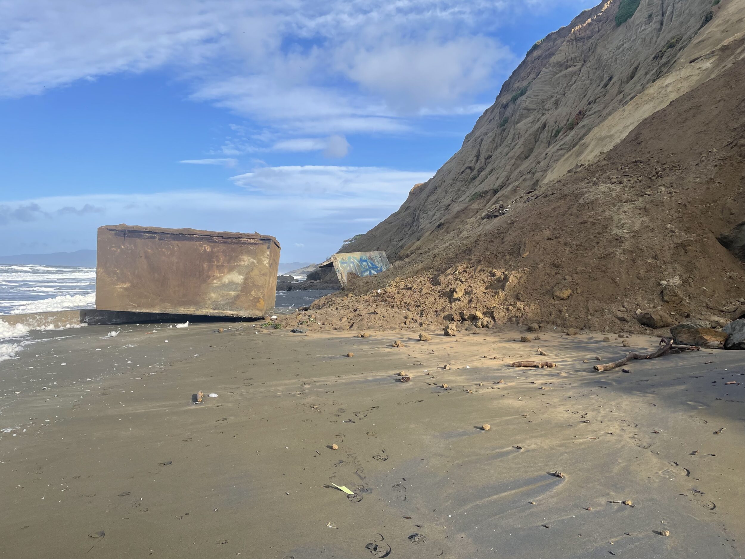
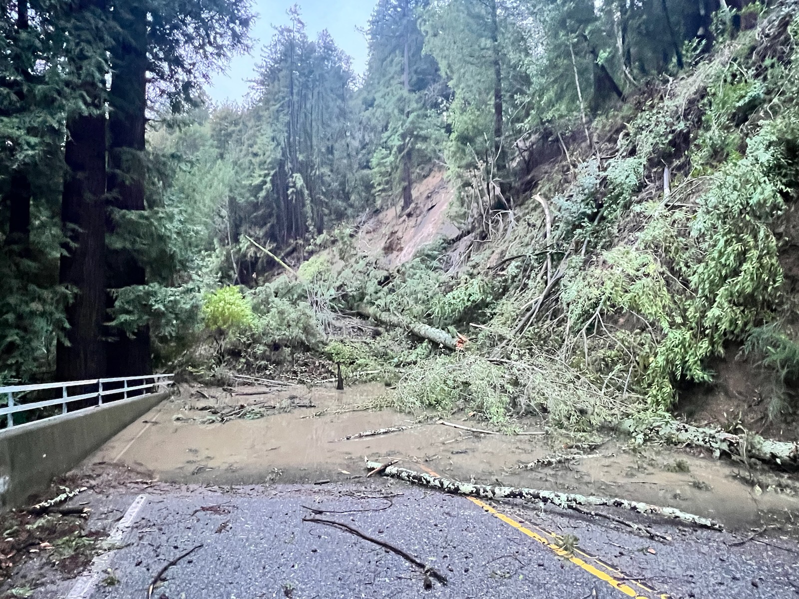
The Golden State has seen almost 600 landslides since Dec. 30, the California Geological Survey said Tuesday.
With the state battered by heavy rains, high winds and snow, landslides have hit parts of the Bay Area, Central California and Southern California the hardest.
Giant sinkholes have appeared in roads as boulders and mudslides blocked access for thousands and will likely continue to do so for months in the worst-affected places.
In San Francisco, rain and winds toppled a 100-foot tree as 40 cars in a San Francisco garage flooded. Emergency declarations were issued across Northern California, and now many are beginning to rebuild after devastating flooding.
The California Geological Survey has mapped almost 600 of the landslides that happened during the atmospheric river storms.
1/17 UPDATE: @CAGeoSurvey & @USGS, in support of the Governor’s Office of Emergency Services (@Cal_OES), have mapped almost 600 landslides since 12/30/22. If you have slide info to report, email: CAlandslide@conservation.ca.gov #landslide #AtmosphericRiver #emergencyresponse pic.twitter.com/uUWDNh7QzN
— California Geological Survey (@CAGeoSurvey) January 17, 2023
Below are five images of landslides across the state: