One of the Bay Area’s most glorious attributes—its natural beauty—can feel out of reach for anyone who lacks reliable access to a car.
But it needn’t be this way. One local is trying to change the perception that you need a vehicle to get yourself to remote trails or other great hiking destinations.
Evan Tschuy has put together a map of hiking trails reachable by public transit from Mendocino National Forest all the way south to San Juan Bautista. It details how you can access both popular and lesser-known trails—all without a need for wheels.
Tschuy’s recommended hikes are divided into three categories—East Bay, Marin County and South Bay—though the map covers a much larger expanse. And while some require walking to or from a transit station, they never take more than 30 minutes or so to get to the trailhead.
Tschuy’s map includes his own assessments of trails and regions, some with pithy statements like “Lafayette is interesting” and “Siesta Valley is odd.” He has surveyed transit agencies from BART to SamTrans in San Mateo County to Caltrain.
“Our lands feature everything from cool, damp redwood forests to rolling oak savannas,” Tschuy writes on his website. “One of the most incredible parts of living here is how much of it is public land—our land—open for anyone to explore.”
Below, we’re including a few highlights from Tschuy’s map.
Black Diamond Mines: Clayton to Antioch
On this 10-mile trek deep in Contra Costa County, you’ll pass by former coal fields—and it just so happens to be Tschuy’s favorite hike in the East Bay Regional Park District. Along with incredible views, you can also enjoy exploring a 200-foot-long prospecting tunnel and an atmospheric cemetery.
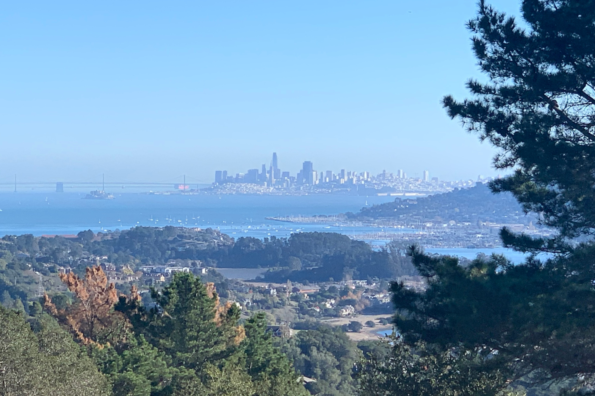
Mount Tamalpais: Panoramic Highway to East Peak
There’s arguably no better view of the North Bay than from Mount Tamalpais, or as Tschuy notes, “Mt. Tam between friends.” There are multiple options for summiting the Sleeping Beauty—try the medium-hard version that’s most accessible from San Francisco.
Alum Rock: Penitencia Creek Trail
Start from the Berryessa-North San Jose BART Station and go all the way to Alum Rock Park, one of California’s oldest municipal state parks. Old railways along this trail once carried San Jose residents to mineral water resorts that used to line the canyon. (Believe it or not, San Jose used to be known across the country for its natural spring waters, which allegedly provided numerous health benefits.) You’ll find remnants of that past, as well as modern-day amenities like playgrounds and picnic areas, and you can make your hike through the park as long or as short—as challenging or as easy—as you’d like.