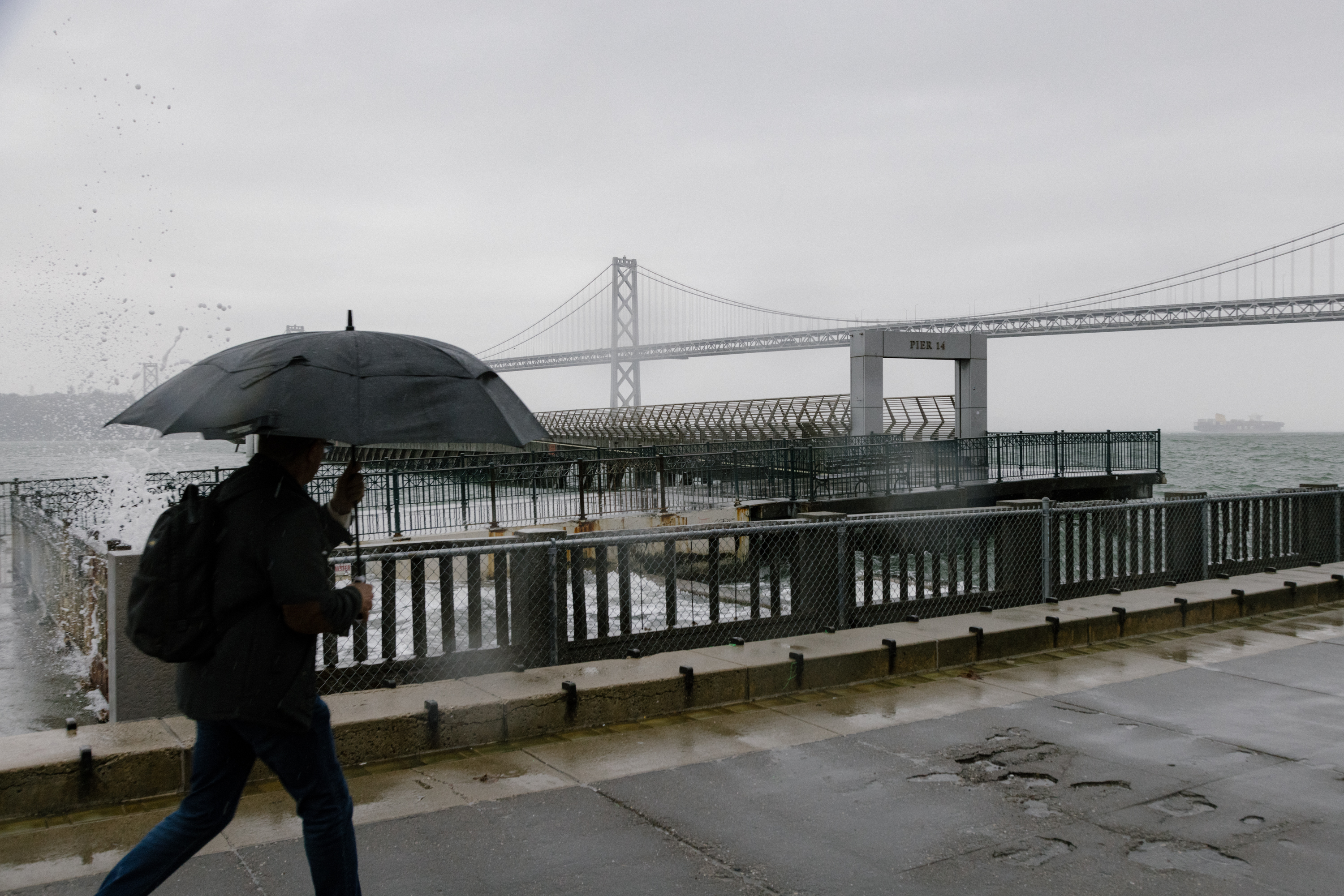
The Bay Area was under a flood watch Saturday afternoon through Monday morning as another storm with “potentially damaging” rain and winds made its way into the region.
The National Weather Service said its forecast of a moderate risk of excessive rainfall on Sunday has been expanded to include the San Francisco Peninsula. The flood watch is in effect from 4 p.m. Saturday until 10 a.m. Monday.
“Travel is highly discouraged on Sunday,” the NWS said on X Saturday.
Now is the time to finish up any outdoors preparations ahead of the incoming system. Travel is highly discouraged on Sunday.
— NWS Bay Area 🌉 (@NWSBayArea) February 3, 2024
A moderate risk of excessive rainfall has been expanded to now include the San Mateo and SF Peninsula on Sunday. #CAwx pic.twitter.com/fZU07eino8
Strong winds are also expected to hit the Bay, with a high wind warning for coastal areas and high terrain. Peaks and ridges could see gusts as high as 80 mph, while gusts of 70 mph are possible in lower terrain, especially in coastal areas.
The weather service described this system’s winds and rain as “potentially damaging” and warned residents of downed trees and flooding of roads, streams and areas with poor drainage.
The majority of the rainfall will happen overnight Saturday into Sunday, according to the NWS’s latest forecast. San Francisco, Oakland, the East Bay Hills and lower elevations on the peninsula and in the North Bay could see 2.5 to 3 inches of rainfall from the storm. Meanwhile, the highest peaks of the Santa Cruz Mountains and the Big Sur coast could get 6 to 8 inches, according to the weather service.